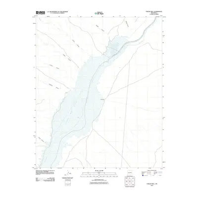
2010 Map of Paraje Well
USGS Topo · Published 2010About this map
Elephant Butte Reservoir dominates this Socorro County landscape, where the waters of the Rio Grande expand across the valley floor. The geography here is defined by a series of significant drainage systems that carve into the high ground from the west, including Lumbre Canyon, Simon Canyon, and Sheep Canyon. These deep incisions in the desert terrain illustrate the complex hydrologic network feeding into the central reservoir basin.
Find a feature on this map
11 named features on this map. Tap any name to fly to it.
Don’t see what you’re looking for? This feature index may not catch every label — zoom into the map to look around manually.
Map Details
Editions of this 2010 Paraje Well Map
This is the sole edition of this map. No revisions or reprints were ever made.
Other maps of this area

1916 · Salinas Peak
USGS Topo · 1:125,000

1948 · Val Verde
USGS Topo · 1:62,500

1948 · Malpais Well
USGS Topo · 1:62,500

1954 · Tularosa
USGS Topo · 1:250,000

1958 · Tularosa
USGS Topo · 1:250,000

1961 · Hickman Ranch
USGS Topo · 1:24,000

1961 · Paraje Well
USGS Topo · 1:24,000

1961 · Black Hill
USGS Topo · 1:24,000

1961 · Fort Craig
USGS Topo · 1:24,000

1961 · Lava
USGS Topo · 1:24,000