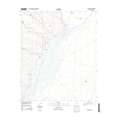
2013 Map of Paraje Well
USGS Topo · Published 2013About this map
The Rio Grande corridor cuts through the high desert of Socorro County in this 2013 survey, which illustrates the intersection of riparian geography and the arid plains. To the east lies the vast, legendary stretch of the Jornada del Muerto, a landscape shaped by historical transit and water scarcity. The terrain is defined by complex drainage systems such as Simon Canyon, Milligan Gulch, and Crawford Hollow that feed toward the river valley. A singular landmark, Paraje Well, stands as a testament to the essential role of water sources in this dry region, anchoring a landscape otherwise marked by the rugged breaks of Sheep Canyon and Silver Canyon. This map serves as a detailed record of the public land survey system, showing township and range boundaries including t8s r3w and t8s r2w.
Find a feature on this map
13 named features on this map. Tap any name to fly to it.
Don’t see what you’re looking for? This feature index may not catch every label — zoom into the map to look around manually.
Map Details
Editions of this 2013 Paraje Well Map
This is the sole edition of this map. No revisions or reprints were ever made.
Other maps of this area

1916 · Salinas Peak
USGS Topo · 1:125,000

1948 · Val Verde
USGS Topo · 1:62,500

1948 · Malpais Well
USGS Topo · 1:62,500

1954 · Tularosa
USGS Topo · 1:250,000

1958 · Tularosa
USGS Topo · 1:250,000

1961 · Hickman Ranch
USGS Topo · 1:24,000

1961 · Paraje Well
USGS Topo · 1:24,000

1961 · Black Hill
USGS Topo · 1:24,000

1961 · Fort Craig
USGS Topo · 1:24,000

1961 · Lava
USGS Topo · 1:24,000