2020 Map of Paraje Well
USGS Topo · Published 2020About this map
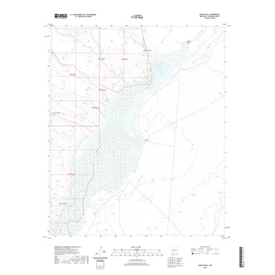
The Rio Grande corridor in Socorro County is defined by a wide, braided riverbed and an intricate network of drainage systems cutting through the arid landscape. This 2020 survey illustrates the complex topography of the high desert, where water movement is channeled through numerous named features such as Milligan Gulch and Silver Canyon. The eponymous Paraje Well stands as a vital landmark in this terrain, situated east of the primary river channel near a series of canyon mouths including Quates Canyon, Simon Canyon, and Sheep Canyon. The drainage patterns, from Lumbre Canyon to Crawford Hollow, reveal how the upland runoff feeds into the broader basin of the Rio Grande. This map provides a contemporary view of the region's land management and natural boundaries within townships T8S R2W, T8S R3W, and T9S R3W.
Find a feature on this map
12 named features on this map. Tap any name to fly to it.
Don’t see what you’re looking for? This feature index may not catch every label — zoom into the map to look around manually.
Map Details
Editions of this 2020 Paraje Well Map
This is the sole edition of this map. No revisions or reprints were ever made.
Other maps of this area

1916 · Salinas Peak
USGS Topo · 1:125,000

1948 · Val Verde
USGS Topo · 1:62,500

1948 · Malpais Well
USGS Topo · 1:62,500

1954 · Tularosa
USGS Topo · 1:250,000

1958 · Tularosa
USGS Topo · 1:250,000

1961 · Hickman Ranch
USGS Topo · 1:24,000

1961 · Paraje Well
USGS Topo · 1:24,000

1961 · Black Hill
USGS Topo · 1:24,000

1961 · Fort Craig
USGS Topo · 1:24,000

1961 · Lava
USGS Topo · 1:24,000