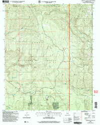
2004 Map of Parallel Canyon
USGS Topo · Published 2006About this map
Tonto National Forest and the Fort Apache Indian Reservation meet in this landscape defined by high ridges and deep drainages. The map reveals a land managed for both conservation and traditional use, where life centers on isolated water sources like Frog Pond and Carroll Spring. The presence of the Nail Ranch in the southern portion suggests the area's ongoing connection to cattle ranching, supported by numerous tanks and springs such as Naegelin Rim Tank and Sheep Corral Spring.
Find a feature on this map
33 named features on this map. Tap any name to fly to it.
Don’t see what you’re looking for? This feature index may not catch every label — zoom into the map to look around manually.
Map Details
Editions of this 2004 Parallel Canyon Map
This is the sole edition of this map. No revisions or reprints were ever made.
Other maps of this area

1886 · Holbrook
USGS Topo · 1:250,000

1893 · Holbrook
USGS Topo · 1:250,000

1954 · Holbrook
USGS Topo · 1:250,000

1957 · Holbrook
USGS Topo · 1:250,000

1958 · Holbrook
USGS Topo · 1:250,000

1960 · Holbrook
USGS Topo · 1:250,000

1961 · Woods Canyon
USGS Topo · 1:62,500

1961 · Heber
USGS Topo · 1:62,500

1961 · Chediski Peak
USGS Topo · 1:62,500
1961 · Young
USGS Topo · 1:62,500