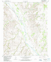
1985 Map of Parallel
USGS Topo · Published 1985About this map
The Canadian River carves a wide path through this Oklahoma landscape, defining the boundaries between several rural townships including Dewey, Taloga, and Sickle. In the mid-1980s, the area's economy is clearly anchored by energy extraction, with a dense concentration of Oil Wells and Gas Wells scattered across the uplands. This industrial footprint is interspersed with significant local landmarks of genealogical interest, such as the Little Robe Cem, Oakley Cem, and Evergreen Cem.
Find a feature on this map
32 named features on this map. Tap any name to fly to it.
Don’t see what you’re looking for? This feature index may not catch every label — zoom into the map to look around manually.
Map Details
Editions of this 1985 Parallel Map
This is the sole edition of this map. No revisions or reprints were ever made.
Other maps of this area

1955 · Clinton
USGS Topo · 1:250,000

1955 · Woodward
USGS Topo · 1:250,000

1957 · Clinton
USGS Topo · 1:250,000

1958 · Woodward
USGS Topo · 1:250,000

1962 · Putnam
USGS Topo · 1:62,500

1964 · Oakwood
USGS Topo · 1:62,500

1972 · Hucmac
USGS Topo · 1:24,000

1972 · Canton SW
USGS Topo · 1:24,000
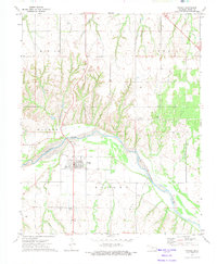
1972 · Taloga
USGS Topo · 1:24,000
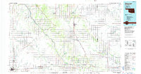
1985 · Watonga
USGS Topo · 1:100,000