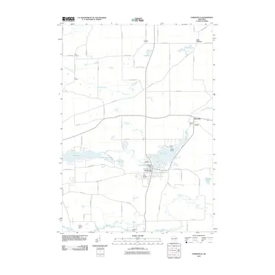
2010 Map of Pardeeville
USGS Topo · Published 2010About this map
Pardeeville is the central hub of this Columbia County landscape, where the Fox River feeds into several interconnected water bodies including Park Lake and Spring Lake. The village center is defined by its proximity to the 2WP832 Dam and the Pardeeville Post Office, while the surrounding rural areas are marked by a network of long-established family roads and small airstrips like the Reuhl Landing Strip.
Find a feature on this map
68 named features on this map. Tap any name to fly to it.
Don’t see what you’re looking for? This feature index may not catch every label — zoom into the map to look around manually.
Map Details
Editions of this 2010 Pardeeville Map
This is the sole edition of this map. No revisions or reprints were ever made.
Other maps of this area

1901 · Poynette
USGS Topo · 1:62,500

1902 · Portage
USGS Topo · 1:62,500

1955 · Randolph
USGS Topo · 1:62,500

1955 · Columbus
USGS Topo · 1:62,500

1957 · Madison
USGS Topo · 1:250,000

1960 · Madison
USGS Topo · 1:250,000

1962 · Poynette
USGS Topo · 1:62,500

1962 · Portage
USGS Topo · 1:62,500
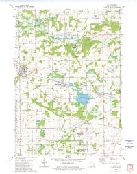
1980 · Rio
USGS Topo · 1:24,000
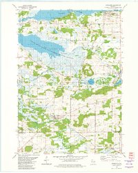
1980 · Marquette
USGS Topo · 1:24,000