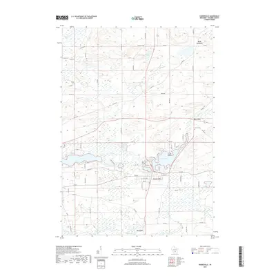
2018 Map of Pardeeville
USGS Topo · Published 2018About this map
Pardeeville and Wyocena serve as the primary hubs in this central Columbia County landscape, where the Fox River and Duck Creek define the local hydrology. The area is characterized by a high density of glacial lakes, including Swan Lake, Park Lake, and the smaller Breneman Lake. For genealogists, the map is particularly valuable for its documentation of numerous rural burial sites, such as Fuller Cem near the northern border and Henlon Cem further south. The settlement patterns follow a mix of historic routes like Military Rd and newer residential developments concentrated along the shorelines of Park Lake. Smaller hamlets like Marcellon and Belle Fountain anchor the northeastern sections, while the presence of Sheep Island provides a distinctive landmark within the local lake system.
Find a feature on this map
76 named features on this map. Tap any name to fly to it.
Don’t see what you’re looking for? This feature index may not catch every label — zoom into the map to look around manually.
Map Details
Editions of this 2018 Pardeeville Map
This is the sole edition of this map. No revisions or reprints were ever made.
Other maps of this area

1901 · Poynette
USGS Topo · 1:62,500

1902 · Portage
USGS Topo · 1:62,500

1955 · Randolph
USGS Topo · 1:62,500

1955 · Columbus
USGS Topo · 1:62,500

1957 · Madison
USGS Topo · 1:250,000

1960 · Madison
USGS Topo · 1:250,000

1962 · Poynette
USGS Topo · 1:62,500

1962 · Portage
USGS Topo · 1:62,500
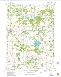
1980 · Rio
USGS Topo · 1:24,000
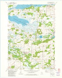
1980 · Marquette
USGS Topo · 1:24,000