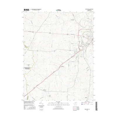
2016 Map of Paris West
USGS Topo · Published 2016About this map
The city of Paris serves as a focal point in this landscape where the boundaries of Bourbon and Fayette counties meet. The terrain is defined by the winding paths of Stoner Creek and Houston Creek, which shape the local geography and historical settlement patterns. Smaller communities like Hutchison, Monterey, and Sidville are scattered across the region, connected by a network of established routes such as Georgetown Rd and Brentsville Rd.
Find a feature on this map
64 named features on this map. Tap any name to fly to it.
Don’t see what you’re looking for? This feature index may not catch every label — zoom into the map to look around manually.
Map Details
Editions of this 2016 Paris West Map
This is the sole edition of this map. No revisions or reprints were ever made.
Other maps of this area
1927 · Lexington
USGS Topo · 1:48,000
1929 · Cynthiana
USGS Topo · 1:48,000
1929 · Lexington
USGS Topo · 1:62,500
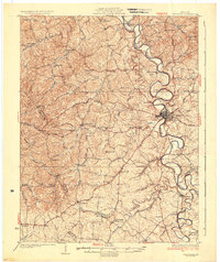
1934 · Cynthiana
USGS Topo · 1:62,500
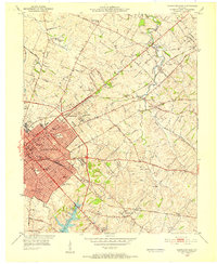
1950 · Lexington East
USGS Topo · 1:24,000
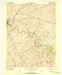
1952 · Paris East
USGS Topo · 1:24,000
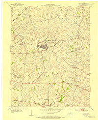
1952 · Clintonville
USGS Topo · 1:24,000
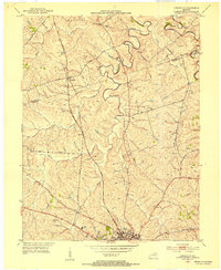
1952 · Austerlitz
USGS Topo · 1:24,000
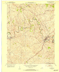
1953 · Millersburg
USGS Topo · 1:24,000
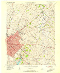
1954 · Lexington East
USGS Topo · 1:24,000