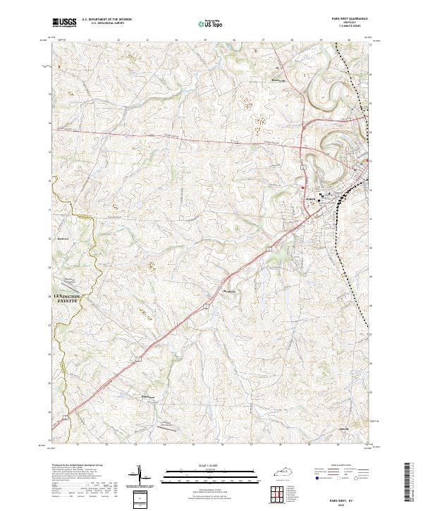
2022 Map of Paris West
USGS Topo · Published 2022About this map
Paris sits at the eastern edge of this landscape, serving as a hub where Stoner Creek and Houston Creek converge. The area is defined by the legacy of Kentucky horse country and agriculture, evidenced by private landing strips like Blue Haven Farm Airport and Zanzibar Farm Airport. The map highlights a significant cluster of local history along the northern outskirts of the town, where several burial grounds including Paris Cem, Mount Olivet Catholic Cem, Cedar Heights Cem, and Fisher Cem are located.
Find a feature on this map
70 named features on this map. Tap any name to fly to it.
Don’t see what you’re looking for? This feature index may not catch every label — zoom into the map to look around manually.
Map Details
Editions of this 2022 Paris West Map
This is the sole edition of this map. No revisions or reprints were ever made.
Other maps of this area

1927 · Lexington
USGS Topo · 1:48,000

1929 · Cynthiana
USGS Topo · 1:48,000

1929 · Lexington
USGS Topo · 1:62,500

1934 · Cynthiana
USGS Topo · 1:62,500

1950 · Lexington East
USGS Topo · 1:24,000

1952 · Paris East
USGS Topo · 1:24,000

1952 · Clintonville
USGS Topo · 1:24,000

1952 · Austerlitz
USGS Topo · 1:24,000

1953 · Millersburg
USGS Topo · 1:24,000
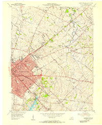
1954 · Lexington East
USGS Topo · 1:24,000