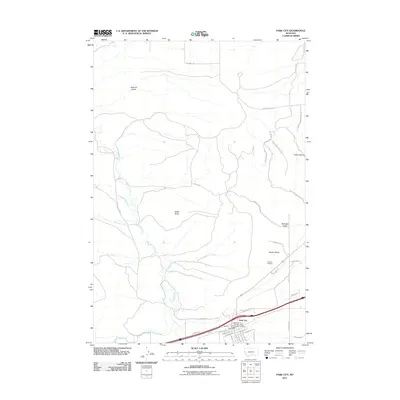
2011 Map of Park City
USGS Topo · Published 2011About this map
Park City serves as the focal point for this Montana landscape, situated near the transition from the river valley to the rising terrain of the northern gulches. The settlement is well-defined by its grid of numbered avenues and streets, including 1st Ave SW and 4th Ave SE, and is supported by essential community landmarks like the Park City Post Office and the Park City Rural Fire Dist - Park City Vol Fire Dept.
Find a feature on this map
51 named features on this map. Tap any name to fly to it.
Don’t see what you’re looking for? This feature index may not catch every label — zoom into the map to look around manually.
Map Details
Editions of this 2011 Park City Map
This is the sole edition of this map. No revisions or reprints were ever made.
Other maps of this area

1892 · Stillwater
USGS Topo · 1:125,000

1954 · Billings
USGS Topo · 1:250,000

1956 · Hunter Lake
USGS Topo · 1:24,000

1956 · Horse Butte
USGS Topo · 1:24,000

1956 · Molt
USGS Topo · 1:24,000

1956 · Silesia
USGS Topo · 1:24,000

1956 · Rapids
USGS Topo · 1:24,000

1956 · Two Pine School
USGS Topo · 1:24,000

1956 · Laurel
USGS Topo · 1:24,000

1956 · Park City
USGS Topo · 1:24,000