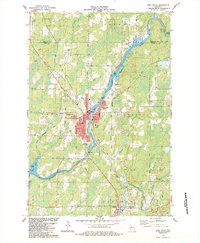
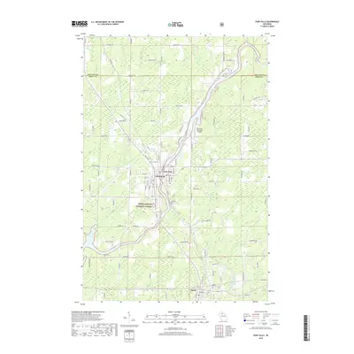
1968 Map of Park Falls
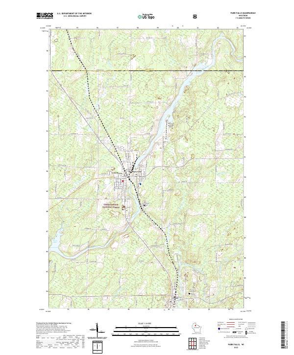
USGS Topo · Published 1978About this map
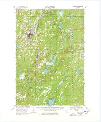
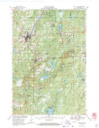
Park Falls serves as a central hub on the South Fork Flambeau River during this 1960s survey, illustrating a landscape defined by timber, water power, and the transition of transit. The map records the industrial footprint of the Powerplant and Cummings Dam, while the expansion of the Park Falls Municipal Airport and nearby Lymantown shows a community growing beyond its early river-based roots. To the south, the village of Fifield sits at the edge of the sprawling Chequamegon National Forest, where the presence of an Old Railroad Grade and numerous Gravel Pits points to the area's logging and resource extraction history.
Find a feature on this map
78 named features on this map. Tap any name to fly to it.
Don’t see what you’re looking for? This feature index may not catch every label — zoom into the map to look around manually.
Map Details
Editions of this 1968 Park Falls Map
2 editions found
Historical Maps of Park Falls Through Time
11 maps found

1941 Park Falls
Price County, WI
1943 Park Falls
Price County, WI
1947 Park Falls
Price County, WI
1968 Park Falls
Price County, WI

1980 Park Falls
Price County, WI
1984 Park Falls
Price County, WI
2010 Park Falls
Price County, WI
2013 Park Falls
Price County, WI
2015 Park Falls
Price County, WI
2018 Park Falls
Price County, WI
2022 Park Falls
Price County, WI