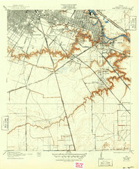
1922 Map of Park Place
USGS Topo · Published 1949About this map
Buffalo Bayou and Brays Bayou converge in this detailed early 20th-century survey of southeast Harris County, showing the burgeoning industrial and residential expansion of Houston. The landscape is dominated by the Turning Basin and the Municipal Wharf, signaling the importance of the maritime trade near Port Houston. Settlement patterns are clearly visible in neighborhoods like Magnolia Park and the distinct grid of Park Place, while the outlying areas of Ferndale and Edmundson remain less dense.
Find a feature on this map
50 named features on this map. Tap any name to fly to it.
Don’t see what you’re looking for? This feature index may not catch every label — zoom into the map to look around manually.
Map Details
Editions of this 1922 Park Place Map
3 editions found

Other maps of this area

1915 · Bellaire
USGS Topo · 1:24,000

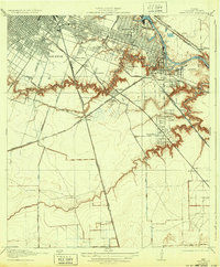
1915 · Park Place
USGS Topo · 1:24,000

1915 · Houston Heights
USGS Topo · 1:24,000

1915 · Deepwater
USGS Topo · 1:24,000

1916 · Genoa
USGS Topo · 1:24,000

1916 · Settegast
USGS Topo · 1:24,000

1916 · Fauna
USGS Topo · 1:24,000

1919 · Deepwater
USGS Topo · 1:31,680

1920 · Genoa
USGS Topo · 1:31,680
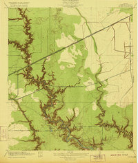
1920 · Fauna
USGS Topo · 1:31,680