
1922 Map of Park Place
USGS Topo · Published 1922About this map
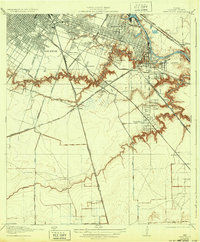
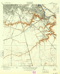
Magnolia Park and the industrializing eastern edge of Houston dominate this 1915 survey. The map depicts a landscape in rapid transition as the ship channel takes shape, centered on the Turning Basin and the winding course of Buffalo Bayou. Extensive rail infrastructure, including the Southern Pacific System and the Gulf Colorado and Santa Fe Road, cuts across the terrain to serve the emerging Municipal Wharf. Away from the industrial waterfront, early residential developments like Park Place, Forest Hills, and Brookline appear alongside established landmarks such as the Houston Country Club and Evergreen Cemetery. South of these settlements, the land remains largely open, drained by Brays Bayou and Sims Bayou, with rural roads like Chocolate Road and Alvin Road providing the primary overland connections.
Find a feature on this map
39 named features on this map. Tap any name to fly to it.
Don’t see what you’re looking for? This feature index may not catch every label — zoom into the map to look around manually.
Map Details
Editions of this 1922 Park Place Map
3 editions found
Other maps of this area

1915 · Bellaire
USGS Topo · 1:24,000

1915 · Park Place
USGS Topo · 1:24,000

1915 · Houston Heights
USGS Topo · 1:24,000

1915 · Deepwater
USGS Topo · 1:24,000

1916 · Genoa
USGS Topo · 1:24,000

1916 · Settegast
USGS Topo · 1:24,000

1916 · Fauna
USGS Topo · 1:24,000

1919 · Deepwater
USGS Topo · 1:31,680

1920 · Genoa
USGS Topo · 1:31,680
1920 · Fauna
USGS Topo · 1:31,680