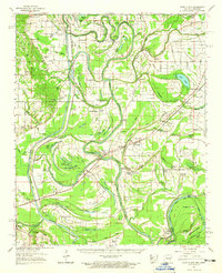
1962 Map of Park Place
USGS Topo · Published 1965About this map
St Francis River meanders through this portion of eastern Arkansas, defining a landscape of oxbow lakes, sloughs, and river bends before the era of intensive modern channelization. The topography is dominated by the interaction between the river and its floodplains, including Council Bend and the complex of islands such as Whiskey Island and Bordeaux Island near the indeterminate state line. Smaller communities like Brickeys and Park Place serve as anchors in a region defined by agricultural rhythms and the Missouri Pacific rail corridor.
Find a feature on this map
141 named features on this map. Tap any name to fly to it.
Don’t see what you’re looking for? This feature index may not catch every label — zoom into the map to look around manually.
Map Details
Editions of this 1962 Park Place Map
2 editions found
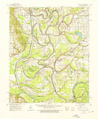
Other maps of this area

1931 · Horseshoe Lake
USGS Topo · 1:62,500

1939 · Clayton
USGS Topo · 1:62,500

1939 · Horseshoe Lake
USGS Topo · 1:62,500

1939 · Park Place
USGS Topo · 1:62,500

1939 · Wynne
USGS Topo · 1:62,500

1939 · Edmondson
USGS Topo · 1:62,500

1939 · Latour
USGS Topo · 1:62,500

1940 · Marvell
USGS Topo · 1:62,500

1940 · Whitmore
USGS Topo · 1:62,500

1940 · Marianna
USGS Topo · 1:62,500