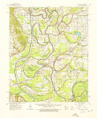
1962 Map of Park Place
USGS Topo · Published 1976About this map
Crowley Ridge rises above the floodplains of the St Francis River and L'Anguille River in this 1962 survey of eastern Arkansas. The landscape is a complex network of oxbow lakes and sloughs, including Big Yancopin Lake and Dry Lake, showing the shifting nature of the river channels over time. Detailed meander lines from as early as 1824 and 1834 are documented, tracing the historical boundaries of the waterways and the State Line Indeterminate near Whiskey Island.
Find a feature on this map
128 named features on this map. Tap any name to fly to it.
Don’t see what you’re looking for? This feature index may not catch every label — zoom into the map to look around manually.
Map Details
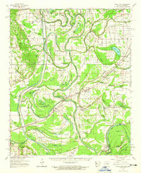
Editions of this 1962 Park Place Map
2 editions found
Other maps of this area

1931 · Horseshoe Lake
USGS Topo · 1:62,500

1939 · Clayton
USGS Topo · 1:62,500

1939 · Horseshoe Lake
USGS Topo · 1:62,500

1939 · Park Place
USGS Topo · 1:62,500

1939 · Wynne
USGS Topo · 1:62,500

1939 · Edmondson
USGS Topo · 1:62,500

1939 · Latour
USGS Topo · 1:62,500

1940 · Marvell
USGS Topo · 1:62,500

1940 · Whitmore
USGS Topo · 1:62,500

1940 · Marianna
USGS Topo · 1:62,500