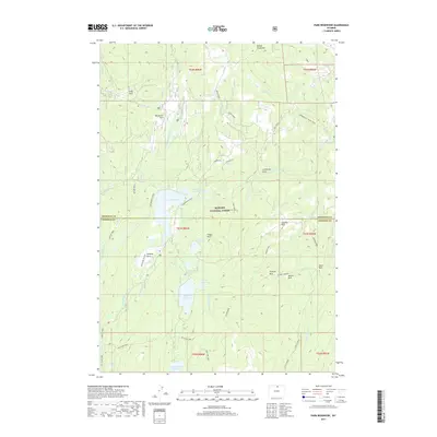
2017 Map of Park Reservoir
USGS Topo · Published 2017About this map
Bighorn National Forest defines this high-altitude landscape along the border of Sheridan and Johnson counties, where a sophisticated network of water management features supports the region. At the heart of this system is Park Reservoir, surrounded by smaller catchments like Granger Reservoir, Martin Reservoir, and Last Chance Reservoir. These alpine waters are channeled through engineering works such as the Peralta Ditch, reflecting a legacy of resource management in the Cloud Peak area.
Find a feature on this map
60 named features on this map. Tap any name to fly to it.
Don’t see what you’re looking for? This feature index may not catch every label — zoom into the map to look around manually.
Map Details
Editions of this 2017 Park Reservoir Map
This is the sole edition of this map. No revisions or reprints were ever made.
Other maps of this area

1895 · Dayton
USGS Topo · 1:125,000

1899 · Cloud peak
USGS Topo · 1:125,000

1901 · Cloud Peak
USGS Topo · 1:125,000

1901 · Dayton
USGS Topo · 1:125,000

1955 · Sheridan
USGS Topo · 1:250,000

1958 · Sheridan
USGS Topo · 1:250,000

1960 · Shell Lake
USGS Topo · 1:24,000

1962 · Sheridan
USGS Topo · 1:250,000

1964 · Walker Mountain
USGS Topo · 1:24,000

1964 · Beckton
USGS Topo · 1:24,000