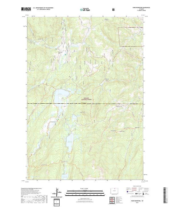
2021 Map of Park Reservoir
USGS Topo · Published 2021About this map
Bighorn National Forest contains a complex network of water management features and high-altitude parks along the Sheridan and Johnson County line. Central to this landscape is the namesake Park Reservoir, surrounded by smaller impoundments like Martin Reservoir, Willits Reservoir, and Last Chance Reservoir. The integration of man-made irrigation infrastructure, such as the Big Goose and Beaver Ditch and the Peralta Ditch, reflects the critical role of water diversion in this mountainous region. Settlement is absent here, replaced by a dense system of pack trails and access routes including the Bishop Mine Trl and the Big Goose Cutoff Trl. Named meadows and rock formations like Big Goose Park, Finger Rock, and Lamburger Rock provide specific landmarks for locating historic summer grazing sites or early mining prospects.
Find a feature on this map
58 named features on this map. Tap any name to fly to it.
Don’t see what you’re looking for? This feature index may not catch every label — zoom into the map to look around manually.
Map Details
Editions of this 2021 Park Reservoir Map
This is the sole edition of this map. No revisions or reprints were ever made.
Other maps of this area

1895 · Dayton
USGS Topo · 1:125,000

1899 · Cloud peak
USGS Topo · 1:125,000

1901 · Cloud Peak
USGS Topo · 1:125,000

1901 · Dayton
USGS Topo · 1:125,000

1955 · Sheridan
USGS Topo · 1:250,000

1958 · Sheridan
USGS Topo · 1:250,000

1960 · Shell Lake
USGS Topo · 1:24,000

1962 · Sheridan
USGS Topo · 1:250,000

1964 · Walker Mountain
USGS Topo · 1:24,000

1964 · Beckton
USGS Topo · 1:24,000