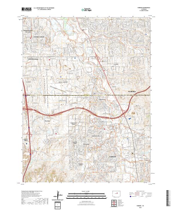
2022 Map of Parker
USGS Topo · Published 2022About this map
The suburban expansion of the Denver metropolitan area is captured here, centered on the rapidly growing communities of Parker and Stonegate. Located along the banks of Cherry Creek, these developments are bounded by major transit corridors like E Arapahoe Rd and E Lincoln Ave. The map highlights a landscape in transition, where legacy features like the Lewis Cem and names like Grand View Estates sit alongside modern regional hubs such as the Centennial Airport and the Arapahoe County Justice Center. This area's hydrology is characterized by a series of drainage ways including Cottonwood Creek, Happy Canyon Creek, and Sulphur Gulch, which have historically shaped the settlement patterns of Douglas Co. The presence of educational institutions like Arapahoe Community College and Rocky Vista University underscores the shift from rural ranching roots toward a dense residential and professional corridor.
Find a feature on this map
95 named features on this map. Tap any name to fly to it.
Don’t see what you’re looking for? This feature index may not catch every label — zoom into the map to look around manually.
Map Details
Editions of this 2022 Parker Map
This is the sole edition of this map. No revisions or reprints were ever made.
Other maps of this area

1890 · East Denver
USGS Topo · 1:125,000

1894 · Castle Rock
USGS Topo · 1:125,000

1913 · Castle Rock
USGS Topo · 1:125,000

1935 · East Denver Nos. 3 and 4
USGS Topo · 1:48,000

1939 · Coal Creek
USGS Topo · 1:24,000

1939 · Elizabeth
USGS Topo · 1:62,500

1940 · Englewood
USGS Topo · 1:31,680

1940 · Piney Creek
USGS Topo · 1:24,000

1940 · Castle Rock
USGS Topo · 1:62,500

1941 · Fitzsimons
USGS Topo · 1:31,680