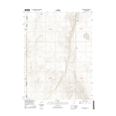
2014 Map of Parker Canyon
USGS Topo · Published 2014About this map
The Smoke Creek Mountains dominate this high-desert landscape along the border of Nevada and California. This 2014 survey captures the remote intersection of Lassen and Washoe counties, where the terrain is defined by dramatic elevation changes and dry drainage systems. Seasonal water sources are rare in this arid environment, making Pipe Spring a significant landmark for those navigating the western slopes of the range. The map illustrates the complex geomorphology of the region, from the winding course of Skedaddle Cr to the deep incisions of Thomas Canyon and Parker Canyon. This area remains largely undeveloped, preserving a wilderness character where public land boundaries and survey townships such as t29n r18e provide the primary framework for navigation.
Find a feature on this map
13 named features on this map. Tap any name to fly to it.
Don’t see what you’re looking for? This feature index may not catch every label — zoom into the map to look around manually.
Map Details
Editions of this 2014 Parker Canyon Map
This is the sole edition of this map. No revisions or reprints were ever made.
Other maps of this area

1886 · Honey Lake
USGS Topo · 1:250,000

1886 · Granite Range
USGS Topo · 1:250,000

1891 · Honey Lake
USGS Topo · 1:250,000

1893 · Honey Lake
USGS Topo · 1:250,000

1894 · Granite Range
USGS Topo · 1:250,000

1954 · Wendel
USGS Topo · 1:62,500

1954 · Doyle
USGS Topo · 1:62,500

1955 · Westwood
USGS Topo · 1:250,000

1955 · Lovelock
USGS Topo · 1:250,000

1958 · Westwood
USGS Topo · 1:250,000