Loading...
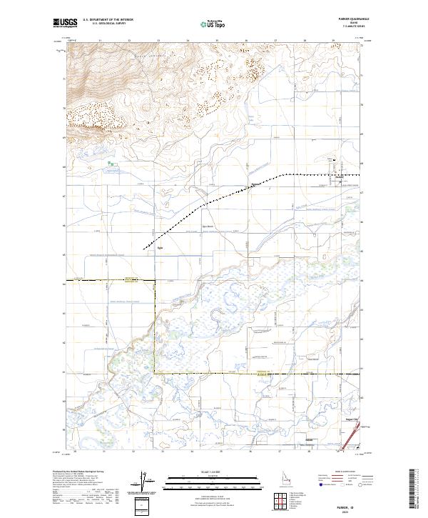
Loading map...2023 Map of Parker
USGS Topo · Published 2023About this map
The Henrys Fork snakes through this agricultural landscape where Fremont and Madison counties meet, defining a region shaped by complex irrigation networks. The town of Parker serves as a central hub, accompanied by the nearby Parker Cem and small settlements like Salem and Egin. The terrain transitions from the low-lying wetlands of Warm Slough to the higher elevations of the South Junipers and the Egin Bench, a prominent geographic feature that overlooks the river valley.
Find a feature on this map
58 named features on this map. Tap any name to fly to it.
Don’t see what you’re looking for? This feature index may not catch every label — zoom into the map to look around manually.
Map Details
Date Portrayed2023
Date Published2023
PublisherU.S. Geological Survey
Map TypeTopographic
Scale1:24000
Physical Dimensions24 x 29 inches
Editions of this 2023 Parker Map
This is the sole edition of this map. No revisions or reprints were ever made.
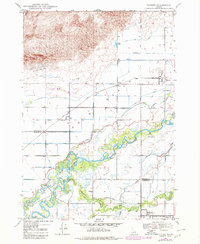
Historical Maps of Sugar City Through Time

Featured Locations
Source Details
SourceU.S. Geological Survey
CopyrightPublic Domain