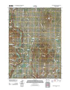
2011 Map of Parker Mountain
USGS Topo · Published 2011About this map
Pinehurst stands as a primary point of reference in this high-elevation landscape where the Rogue River National Frst defines the rugged geography of the Oregon-California borderlands. The area is characterized by a series of remote ranching outposts, including Box D Ranch, Box O Ranch, and Taylor Ranch, many of which are situated along the winding course of Jenny Creek. This network of cattle operations reflects a long-standing land-use pattern where meadows like Schoolhouse Meadow and water sources like Rattlesnake Spring were vital for local livelihoods.
Find a feature on this map
43 named features on this map. Tap any name to fly to it.
Don’t see what you’re looking for? This feature index may not catch every label — zoom into the map to look around manually.
Map Details
Editions of this 2011 Parker Mountain Map
This is the sole edition of this map. No revisions or reprints were ever made.
Other maps of this area

1886 · Shasta
USGS Topo · 1:250,000

1891 · Ashland
USGS Topo · 1:250,000

1893 · Ashland
USGS Topo · 1:250,000

1894 · Shasta
USGS Topo · 1:250,000

1897 · Ashland
USGS Topo · 1:250,000

1922 · Shasta Valley Sheet No 16
USGS Topo · 1:24,000

1934 · Macdoel
USGS Topo · 1:96,000

1941 · Macdoel
USGS Topo · 1:125,000

1948 · Weed
USGS Topo · 1:250,000

1950 · Weed
USGS Topo · 1:250,000