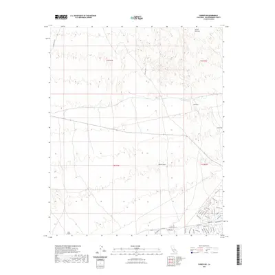
2021 Map of Parker NW
USGS Topo · Published 2021About this map
Calzona stands as a focal point in the lower Colorado River region, positioned near the intersection of Calzona Blvd and Old Parker Rd. This 2021 survey documents a landscape where modern development and desert terrain meet, characterized by a dense grid of residential-style street names like Bannock Trl, Yakima Trl, and Moccasin Trl on the southeastern edge. To the north, the elevation rises sharply into the Whipple Mountains, where Vista Peak and Squaw Peak dominate the horizon.
Find a feature on this map
43 named features on this map. Tap any name to fly to it.
Don’t see what you’re looking for? This feature index may not catch every label — zoom into the map to look around manually.
Map Details
Editions of this 2021 Parker NW Map
This is the sole edition of this map. No revisions or reprints were ever made.
Other maps of this area

1911 · Parker
USGS Topo · 1:125,000

1943 · Whipple Mts.
USGS Topo · 1:62,500

1943 · Parker
USGS Topo · 1:62,500

1943 · Vidal
USGS Topo · 1:62,500

1949 · Parker
USGS Topo · 1:62,500

1949 · Vidal
USGS Topo · 1:62,500

1950 · Parker
USGS Topo · 1:62,500

1950 · Vidal
USGS Topo · 1:62,500

1950 · Whipple Mts
USGS Topo · 1:62,500

1950 · Savahia Peak
USGS Topo · 1:62,500