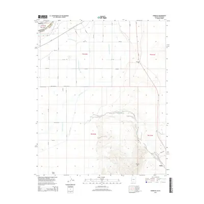
2014 Map of Parker SE
USGS Topo · Published 2014About this map
Parker Valley defines this stretch of the lower Colorado River corridor, where a sophisticated network of irrigation infrastructure supports the regional landscape. The Main Canal and various secondary waterways, including Lateral Nineteen R and Feeder Drain Number Five, segment the valley floor, illustrating the complex water management essential to the area's development. This engineering is framed by the natural boundary of the Colorado River and the rugged elevations of Mesquite Mtn to the southeast.
Find a feature on this map
45 named features on this map. Tap any name to fly to it.
Don’t see what you’re looking for? This feature index may not catch every label — zoom into the map to look around manually.
Map Details
Editions of this 2014 Parker SE Map
This is the sole edition of this map. No revisions or reprints were ever made.
Other maps of this area

1911 · Parker
USGS Topo · 1:125,000

1930 · Linskey
USGS Topo · 1:62,500

1931 · Moon Mtn
USGS Topo · 1:62,500

1932 · Moon Mtn
USGS Topo · 1:62,500

1942 · Blythe
USGS Topo · 1:250,000

1942 · MOON MTN
USGS Topo · 1:62,500

1943 · Parker
USGS Topo · 1:62,500

1949 · Parker
USGS Topo · 1:62,500

1950 · Parker
USGS Topo · 1:62,500

1954 · Salton Sea
USGS Topo · 1:250,000