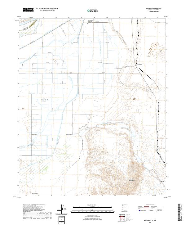
2021 Map of Parker SE
USGS Topo · Published 2021About this map
Parker Valley reveals an intricate landscape shaped by its relationship with the Colorado River, which forms the border between Arizona and California. The modern infrastructure of the Colorado River Indian Tribes is central to this area, evidenced by the extensive irrigation network including the Main Canal, Lateral Nineteen R, and various feeder drains that crisscross the valley floor. Near the northern reach, the Big House Cem serves as a significant local landmark alongside Indian School Rd, reflecting the community's established history.
Find a feature on this map
35 named features on this map. Tap any name to fly to it.
Don’t see what you’re looking for? This feature index may not catch every label — zoom into the map to look around manually.
Map Details
Editions of this 2021 Parker SE Map
This is the sole edition of this map. No revisions or reprints were ever made.
Other maps of this area

1911 · Parker
USGS Topo · 1:125,000

1930 · Linskey
USGS Topo · 1:62,500

1931 · Moon Mtn
USGS Topo · 1:62,500

1932 · Moon Mtn
USGS Topo · 1:62,500

1942 · Blythe
USGS Topo · 1:250,000

1942 · MOON MTN
USGS Topo · 1:62,500

1943 · Parker
USGS Topo · 1:62,500

1949 · Parker
USGS Topo · 1:62,500

1950 · Parker
USGS Topo · 1:62,500

1954 · Salton Sea
USGS Topo · 1:250,000