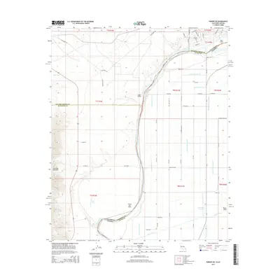
2015 Map of Parker SW
USGS Topo · Published 2015About this map
Colorado River waters define the border between California and Arizona as they pass through the Vidal Valley and Parker Valley. This 2015 data reflects a highly managed agricultural and riparian landscape, where the main river channel is flanked by an intricate network of irrigation features including Main Canal, Lateral Nineteen R, and Lateral Twenty-seven R-25. These engineered waterways support the surrounding fields, contrasting with the dry topography of the Riverside Mountains and the seasonal drainage of Vidal Wash.
Find a feature on this map
63 named features on this map. Tap any name to fly to it.
Don’t see what you’re looking for? This feature index may not catch every label — zoom into the map to look around manually.
Map Details
Editions of this 2015 Parker SW Map
This is the sole edition of this map. No revisions or reprints were ever made.
Other maps of this area

1911 · Parker
USGS Topo · 1:125,000

1931 · Moon Mtn
USGS Topo · 1:62,500

1932 · Moon Mtn
USGS Topo · 1:62,500

1942 · Blythe
USGS Topo · 1:250,000

1942 · MOON MTN
USGS Topo · 1:62,500

1943 · Parker
USGS Topo · 1:62,500

1943 · Vidal
USGS Topo · 1:62,500

1945 · Big Maria Mtns
USGS Topo · 1:62,500

1949 · Parker
USGS Topo · 1:62,500

1949 · Vidal
USGS Topo · 1:62,500