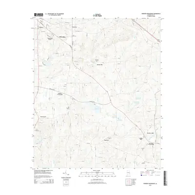
2014 Map of Parkers Crossroads
USGS Topo · Published 2014About this map
Spring Villa and the eastern reaches of Opelika characterize this landscape in the mid-2010s, where rural heritage intersects with modern development in Lee County. The map provides a detailed view of several family and community landmarks, such as the Penn Young Gravesite and Brown Cem, alongside local gathering points like Morris Chapel Cem. The hydrology of the region is prominent, featuring the Lee County Public Lake and a series of managed waters including Pope Lake Number One and Samford Lake Number Two. Historical industry and local junctions are visible at Griffen Mill and Meadows Mill, while the crossroads of Parkers Crossroads and Meadows Crossroads mark the intersection of several county routes and AL-169. This record of the land preserves the names of small settlements like Hopewell and Beauregard as they existed before further suburban expansion from the nearby city center.
Find a feature on this map
52 named features on this map. Tap any name to fly to it.
Don’t see what you’re looking for? This feature index may not catch every label — zoom into the map to look around manually.
Map Details
Editions of this 2014 Parkers Crossroads Map
This is the sole edition of this map. No revisions or reprints were ever made.
Other maps of this area

1907 · Opelika
USGS Topo · 1:125,000

1909 · Opelika
USGS Topo · 1:125,000

1914 · Seale
USGS Topo · 1:62,500

1950 · Crawford
USGS Topo · 1:24,000

1950 · Seale
USGS Topo · 1:62,500

1955 · Crawford
USGS Topo · 1:24,000

1955 · Seale
USGS Topo · 1:62,500

1955 · Phenix City
USGS Topo · 1:250,000

1957 · Phenix City
USGS Topo · 1:250,000

1958 · Phenix City
USGS Topo · 1:250,000