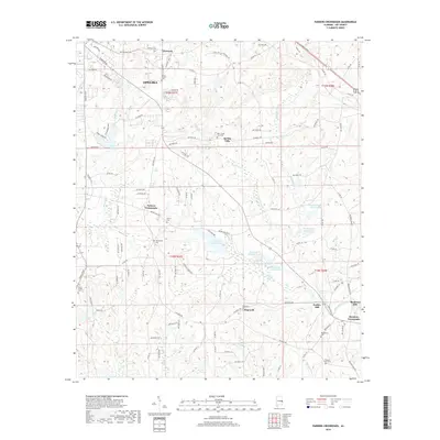
2018 Map of Parkers Crossroads
USGS Topo · Published 2018About this map
Opelika anchor this portion of Lee County, where the landscape transitions from the urban outskirts of the city into a patchwork of rural creek bottoms and small settlements. The area is defined by its numerous watercourses, including the winding Little Uchee Creek and Chewacla Cr, which historically supported local industry like Griffen Mill and Meadows Mill. Cultural landmarks are scattered throughout the countryside, with several established cemeteries such as Morris Chapel Cem and Macedonia Cem providing points of interest for genealogical research.
Find a feature on this map
121 named features on this map. Tap any name to fly to it.
Don’t see what you’re looking for? This feature index may not catch every label — zoom into the map to look around manually.
Map Details
Editions of this 2018 Parkers Crossroads Map
This is the sole edition of this map. No revisions or reprints were ever made.
Other maps of this area

1907 · Opelika
USGS Topo · 1:125,000

1909 · Opelika
USGS Topo · 1:125,000

1914 · Seale
USGS Topo · 1:62,500

1950 · Crawford
USGS Topo · 1:24,000

1950 · Seale
USGS Topo · 1:62,500

1955 · Crawford
USGS Topo · 1:24,000

1955 · Seale
USGS Topo · 1:62,500

1955 · Phenix City
USGS Topo · 1:250,000

1957 · Phenix City
USGS Topo · 1:250,000

1958 · Phenix City
USGS Topo · 1:250,000