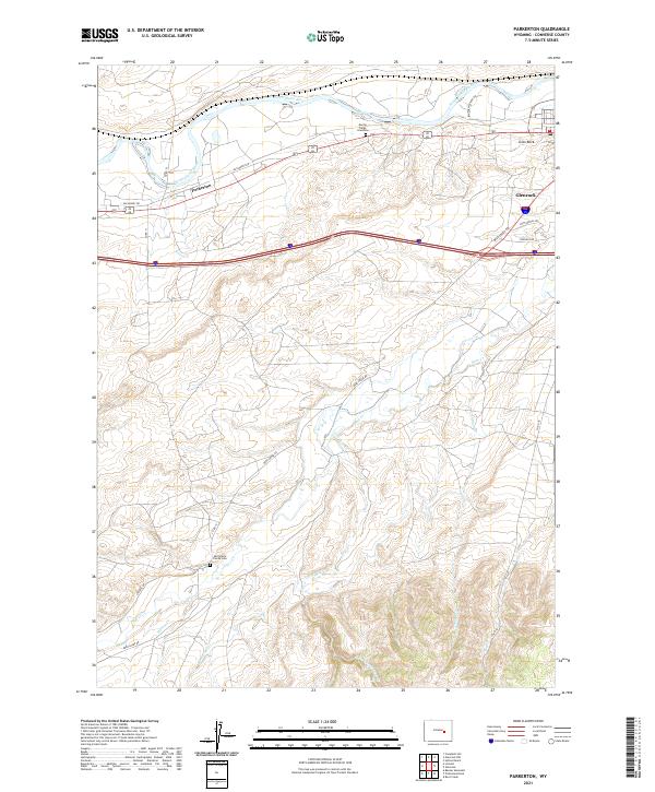
2021 Map of Parkerton
USGS Topo · Published 2021About this map
The North Platte River winds through the northern portion of this Converse County region, defining a landscape marked by historical migration and local ranching history. Just south of the river, the Martin Ringo Gravesite stands as a notable pioneer landmark near Big Muddy Rd. Further south into the hills, the Mortimore Family Cem is located near Deer Cr, offering a specific point of interest for genealogists tracking early settler families in the drainage basins of Little Deer Cr and Willow Cr.
Find a feature on this map
27 named features on this map. Tap any name to fly to it.
Don’t see what you’re looking for? This feature index may not catch every label — zoom into the map to look around manually.
Map Details
Editions of this 2021 Parkerton Map
This is the sole edition of this map. No revisions or reprints were ever made.
Other maps of this area

1949 · Campbell Hill
USGS Topo · 1:24,000

1949 · Parkerton
USGS Topo · 1:24,000

1949 · Glenrock
USGS Topo · 1:24,000

1949 · Glenrock NW
USGS Topo · 1:24,000

1949 · Hylton Ranch
USGS Topo · 1:24,000

1950 · Campbell Hill
USGS Topo · 1:24,000

1950 · Lockett
USGS Topo · 1:24,000

1950 · Parkerton
USGS Topo · 1:24,000

1950 · Glenrock NW
USGS Topo · 1:24,000

1950 · Glenrock
USGS Topo · 1:24,000