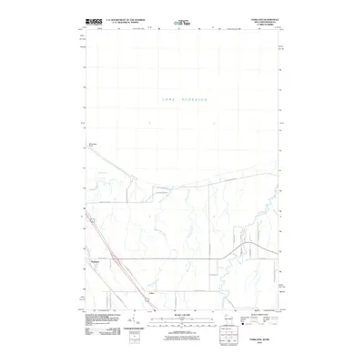
2010 Map of Parkland
USGS Topo · Published 2010About this map
Wisconsin Point extends into Lake Superior, sheltering the waters of Allouez Bay in this coastal survey of Douglas County. The landscape is defined by the transition from the Great Lakes shoreline to the inland drainage systems of the Amnicon River, Bear Creek, and Dutchman Creek. The settlement of Parkland serves as a primary reference point in the southwest, while the small community of Cutter sits further south near the intersection of several county routes. A network of rural roads, including Moccasin Mike Rd and South Shore Dr, indicates the residential and recreational development along the lakefront and the wooded interior. This 2010 data provides a clear record of the area's modern infrastructure and preserved natural coastal features before any subsequent shifts in the shoreline or local land use.
Find a feature on this map
29 named features on this map. Tap any name to fly to it.
Don’t see what you’re looking for? This feature index may not catch every label — zoom into the map to look around manually.
Map Details
Editions of this 2010 Parkland Map
This is the sole edition of this map. No revisions or reprints were ever made.
Other maps of this area

1895 · Duluth
USGS Topo · 1:62,500

1915 · Superior
USGS Topo · 1:48,000

1917 · Superior
USGS Topo · 1:62,500

1949 · Poplar
USGS Topo · 1:48,000

1953 · Lakewood
USGS Topo · 1:24,000

1953 · Duluth
USGS Topo · 1:24,000

1953 · Duluth
USGS Topo · 1:62,500

1953 · Ashland
USGS Topo · 1:250,000

1953 · Duluth
USGS Topo · 1:250,000

1954 · Sunnyside
USGS Topo · 1:24,000