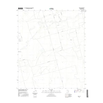
2016 Map of Parks
USGS Topo · Published 2016About this map
Parks Oil Field dominates the central landscape of this West Texas terrain, where the industrial infrastructure of energy production meets the ephemeral hydrology of the Permian Basin. The winding course of Monahans Draw carves through the northern and western sections, providing a natural contrast to the rigid grid of petroleum access roads and county lines. This area of Midland County is defined by its transit networks, anchored by the north-south artery of Ranch Rd 1788 and the east-west passage of Dora Roberts Rd. The map illustrates a high concentration of localized features related to oil extraction, showing how the landscape has been systematically organized for resource recovery through an extensive network of secondary roads such as W Co Rd 170 and S Co Rd 1270.
Find a feature on this map
20 named features on this map. Tap any name to fly to it.
Don’t see what you’re looking for? This feature index may not catch every label — zoom into the map to look around manually.
Map Details
Editions of this 2016 Parks Map
This is the sole edition of this map. No revisions or reprints were ever made.
Other maps of this area

1954 · Pecos
USGS Topo · 1:250,000

1957 · Pecos
USGS Topo · 1:250,000

1964 · Bryant Ranch
USGS Topo · 1:24,000

1964 · Odessa NE
USGS Topo · 1:24,000

1964 · Odessa SE
USGS Topo · 1:24,000

1964 · Parks
USGS Topo · 1:24,000

1965 · Southeast Midland
USGS Topo · 1:24,000

1965 · Southwest Midland
USGS Topo · 1:24,000

1965 · South Cowden Ranch
USGS Topo · 1:24,000

1968 · Benge Corner NW
USGS Topo · 1:24,000