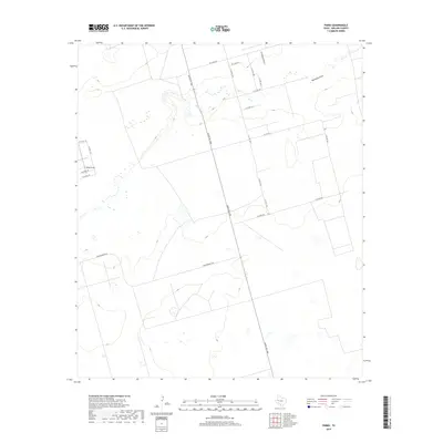
2019 Map of Parks
USGS Topo · Published 2019About this map
Scharbauer Ranch occupies the northern portion of this landscape in Midland County, where the dry bed of Monahans Draw snakes across the plains towards the east. The terrain is defined by a grid of rural roads and larger ranches, illustrating the expansive ranching and land-division patterns of West Texas. Bates Field sits in the western section, providing a point of interest for aviation or local history researchers looking for small airfields in the Permian Basin region.
Find a feature on this map
20 named features on this map. Tap any name to fly to it.
Don’t see what you’re looking for? This feature index may not catch every label — zoom into the map to look around manually.
Map Details
Editions of this 2019 Parks Map
This is the sole edition of this map. No revisions or reprints were ever made.
Other maps of this area

1954 · Pecos
USGS Topo · 1:250,000

1957 · Pecos
USGS Topo · 1:250,000

1964 · Bryant Ranch
USGS Topo · 1:24,000

1964 · Odessa NE
USGS Topo · 1:24,000

1964 · Odessa SE
USGS Topo · 1:24,000

1964 · Parks
USGS Topo · 1:24,000

1965 · Southeast Midland
USGS Topo · 1:24,000

1965 · Southwest Midland
USGS Topo · 1:24,000

1965 · South Cowden Ranch
USGS Topo · 1:24,000

1968 · Benge Corner NW
USGS Topo · 1:24,000