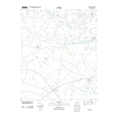
2010 Map of Parkton
USGS Topo · Published 2010About this map
Lumber Bridge and Parkton serve as the primary population centers in this 2010 landscape, where the coastal plain of North Carolina is defined by an intricate network of wetlands and small water bodies. The geography is dominated by numerous marsh systems, including Little Marsh Swamp and Bogue Swamp, which influence the winding paths of rural roads like Phillippi Church Rd and Sam McGougan Gin Rd.
Find a feature on this map
87 named features on this map. Tap any name to fly to it.
Don’t see what you’re looking for? This feature index may not catch every label — zoom into the map to look around manually.
Map Details
Editions of this 2010 Parkton Map
This is the sole edition of this map. No revisions or reprints were ever made.
Other maps of this area

1948 · Fayetteville
USGS Topo · 1:62,500

1948 · Clifdale
USGS Topo · 1:62,500

1948 · Nicholson Creek
USGS Topo · 1:24,000

1948 · Clifdale
USGS Topo · 1:24,000

1950 · Clifdale
USGS Topo · 1:24,000

1950 · Fayetteville
USGS Topo · 1:24,000

1950 · Nicholson Creek
USGS Topo · 1:24,000

1951 · Clifdale
USGS Topo · 1:62,500

1953 · Florence
USGS Topo · 1:250,000

1953 · Raleigh
USGS Topo · 1:250,000