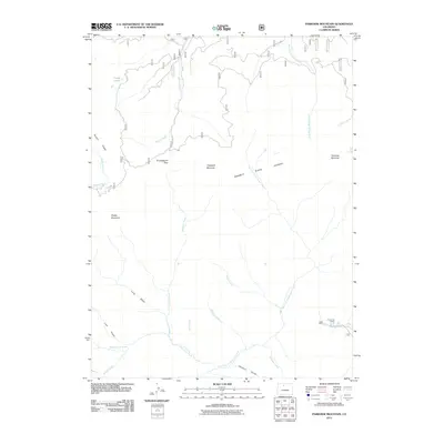
2011 Map of Parkview Mountain
USGS Topo · Published 2011About this map
The Rabbit Ears Range dominates this portion of Grand County, forming a high-elevation divide that separates numerous drainage systems. Significant peaks like Parkview Mountain and Sheep Mountain define the horizon, while the terrain is carved by complex water networks including Willow Creek, Haystack Creek, and East Fork Troublesome Creek. This 2011 survey captures the area's transition from high summits to more accessible valley floors, where Trails End Ranch represents the primary named settlement activity near the banks of Buffalo Creek.
Find a feature on this map
42 named features on this map. Tap any name to fly to it.
Don’t see what you’re looking for? This feature index may not catch every label — zoom into the map to look around manually.
Map Details
Editions of this 2011 Parkview Mountain Map
This is the sole edition of this map. No revisions or reprints were ever made.
Other maps of this area

1954 · Craig
USGS Topo · 1:250,000

1956 · Radial Mountain
USGS Topo · 1:24,000

1956 · Jack Creek Ranch
USGS Topo · 1:24,000

1956 · Kremmling
USGS Topo · 1:62,500

1956 · Parkview Mountain
USGS Topo · 1:24,000

1956 · Buffalo Peak
USGS Topo · 1:24,000

1956 · Hyannis Peak
USGS Topo · 1:24,000

1956 · Rand
USGS Topo · 1:24,000

1956 · Hyannis Peak
USGS Topo · 1:62,500

1956 · Rand
USGS Topo · 1:62,500