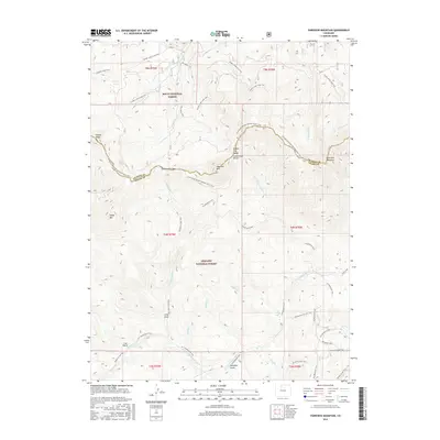
2016 Map of Parkview Mountain
USGS Topo · Published 2016About this map
Routt National Forest and Arapaho National Forest dominate this high-altitude landscape along the border of Grand and Jackson Counties. The terrain is defined by its administrative boundaries and natural water features rather than concentrated human settlement, characteristic of the protected wilderness areas in the northern Colorado Rockies. Small-scale human presence is noted at Long Draw, while the hydrology of the high country is marked by Longs Lake in the northwest. This 2016 survey illustrates the management of these public lands, where traditional township and range lines like t5n r79w and t4n r78w overlay the mountain geography, reflecting the systematic division of the American West even in its most remote reaches.
Find a feature on this map
11 named features on this map. Tap any name to fly to it.
Don’t see what you’re looking for? This feature index may not catch every label — zoom into the map to look around manually.
Map Details
Editions of this 2016 Parkview Mountain Map
This is the sole edition of this map. No revisions or reprints were ever made.
Other maps of this area

1954 · Craig
USGS Topo · 1:250,000

1956 · Radial Mountain
USGS Topo · 1:24,000

1956 · Jack Creek Ranch
USGS Topo · 1:24,000

1956 · Kremmling
USGS Topo · 1:62,500

1956 · Parkview Mountain
USGS Topo · 1:24,000

1956 · Buffalo Peak
USGS Topo · 1:24,000

1956 · Hyannis Peak
USGS Topo · 1:24,000

1956 · Rand
USGS Topo · 1:24,000

1956 · Hyannis Peak
USGS Topo · 1:62,500

1956 · Rand
USGS Topo · 1:62,500