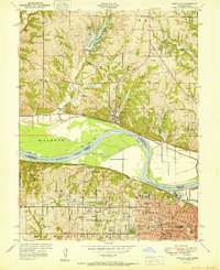
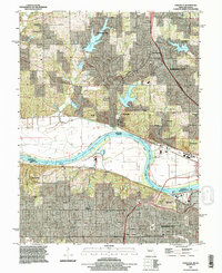
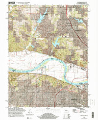
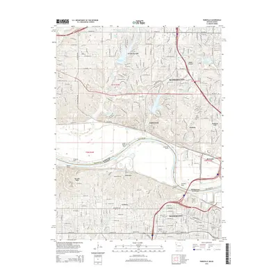
1951 Map of Parkville
USGS Topo · Published 1951About this map
Parkville and the winding Missouri River define this 1951 landscape, where the river's deep curves at Little Platte Bend and Quindaro Bend create a complex boundary between Missouri and Kansas. The area is a significant educational hub, home to Park College, Western University, and the Old Kansas City University. These institutions, alongside numerous rural schoolhouses like Stony Point School and Brink School, reflect a region transitioning from isolated farmsteads to suburban development.
Find a feature on this map
61 named features on this map. Tap any name to fly to it.
Don’t see what you’re looking for? This feature index may not catch every label — zoom into the map to look around manually.
Map Details
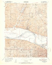
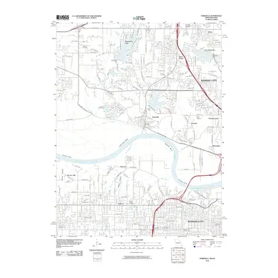
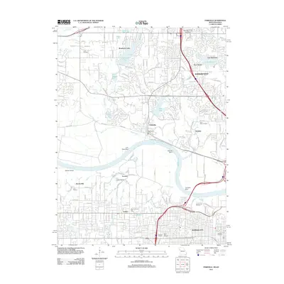
Editions of this 1951 Parkville Map
2 editions found
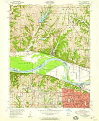
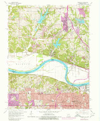
Historical Maps of Kansas City Through Time
10 maps found
1948 Parkville
Platte County, MO
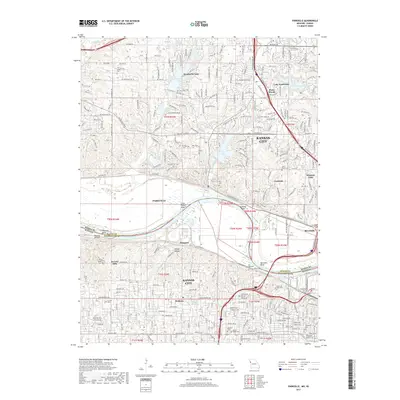
1951 Parkville
Platte County, MO
1964 Parkville
Platte County, MO
1991 Parkville
Platte County, MO
1996 Parkville
Platte County, MO
2010 Parkville
Platte County, MO
2012 Parkville
Platte County, MO
2015 Parkville
Platte County, MO
2017 Parkville
Platte County, MO
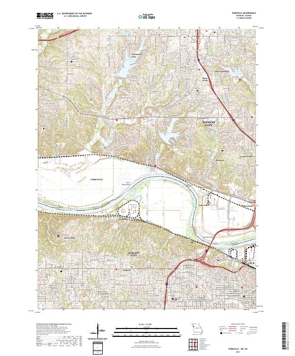
2021 Parkville
Platte County, MO