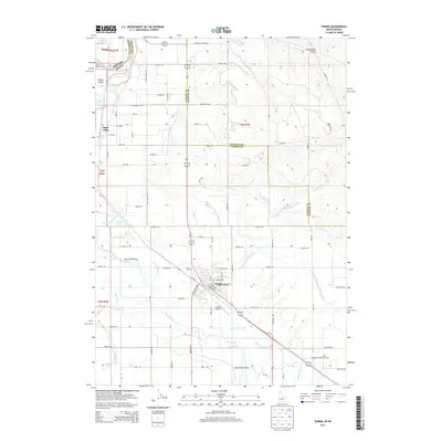
2013 Map of Parma
USGS Topo · Published 2013About this map
The Snake River and Boise River define this borderland landscape where Oregon and Idaho meet. In the early 21st century, the town of Parma stands as a central hub, surrounded by a complex network of irrigation infrastructure including the Farmers Cooperative Sebree Canal, Parma Canal, and D-Line Canal. This hydraulic system supports the fertile agricultural land of Canyon County, Idaho, and Malheur County, Oregon. The map records several legacy landmarks important for local history and genealogy, such as Parma Cem and Boise Cem. Significant river features like Bridge Island and McConnel Island illustrate the shifting channels of these major waterways. Smaller settlements and neighborhoods like Apple Valley and the edge of Nyssa are linked by a grid of named roads, including Apple Valley Rd and Grandview Ave, which trace the development of this rural community and its aviation connection at Parma Airport.
Find a feature on this map
77 named features on this map. Tap any name to fly to it.
Don’t see what you’re looking for? This feature index may not catch every label — zoom into the map to look around manually.
Map Details
Editions of this 2013 Parma Map
This is the sole edition of this map. No revisions or reprints were ever made.
Other maps of this area

1898 · Nampa
USGS Topo · 1:125,000

1906 · Mitchell Butte
USGS Topo · 1:125,000

1955 · Boise
USGS Topo · 1:250,000

1957 · Wilder
USGS Topo · 1:24,000

1957 · Notus
USGS Topo · 1:24,000

1958 · Boise
USGS Topo · 1:250,000

1962 · Boise
USGS Topo · 1:250,000
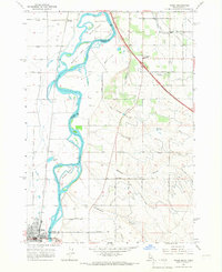
1965 · Nyssa
USGS Topo · 1:24,000
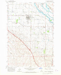
1965 · New Plymouth
USGS Topo · 1:24,000
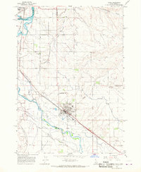
1965 · Parma
USGS Topo · 1:24,000