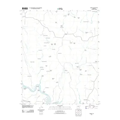
2011 Map of Parma
USGS Topo · Published 2011About this map
Parma and Brewer anchor this rural Van Buren County landscape, where the northern reaches of Greers Ferry Lake meet a series of prominent ridges and hollows. The terrain is defined by dramatic elevation changes, notably at Pond Mountain, Backbone Ridge, and Graham Ridge, which overlook a network of watercourses including Wild Goose Creek and Brush Creek.
Find a feature on this map
86 named features on this map. Tap any name to fly to it.
Don’t see what you’re looking for? This feature index may not catch every label — zoom into the map to look around manually.
Map Details
Editions of this 2011 Parma Map
This is the sole edition of this map. No revisions or reprints were ever made.
Other maps of this area

1892 · Mountain View
USGS Topo · 1:125,000

1894 · Mountain View
USGS Topo · 1:125,000

1956 · Russellville
USGS Topo · 1:250,000

1964 · Russellville
USGS Topo · 1:250,000

1969 · Mountain View SW
USGS Topo · 1:24,000
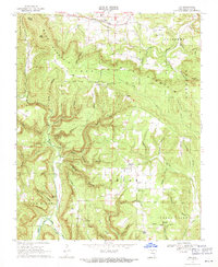
1969 · Fox
USGS Topo · 1:24,000
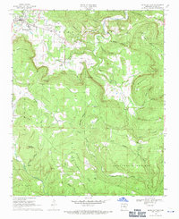
1969 · Mountain View
USGS Topo · 1:24,000
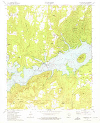
1973 · Fairfield Bay
USGS Topo · 1:24,000
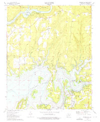
1973 · Brownsville
USGS Topo · 1:24,000
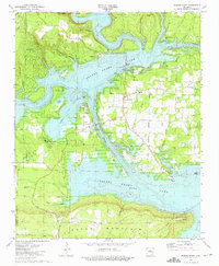
1973 · Greers Ferry
USGS Topo · 1:24,000