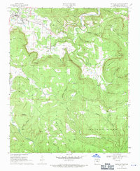
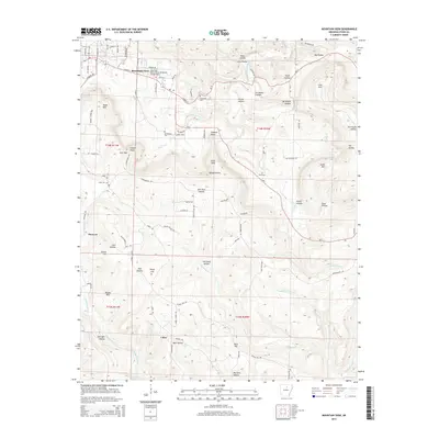
1969 Map of Mountain View
USGS Topo · Published 1971About this map
Mountain View serves as the regional hub for Stone County on this late 1960s survey, surrounded by a complex landscape of hollows and high points. The town's periphery is marked by the Wilcox Memorial Airport and the prominent Blue Mountain ridge to the east. The terrain is deeply dissected by drainage systems like Rocky Bayou and Raccoon Creek, which define the settlement patterns of smaller communities such as Luber and Hanover.
Find a feature on this map
54 named features on this map. Tap any name to fly to it.
Don’t see what you’re looking for? This feature index may not catch every label — zoom into the map to look around manually.
Map Details
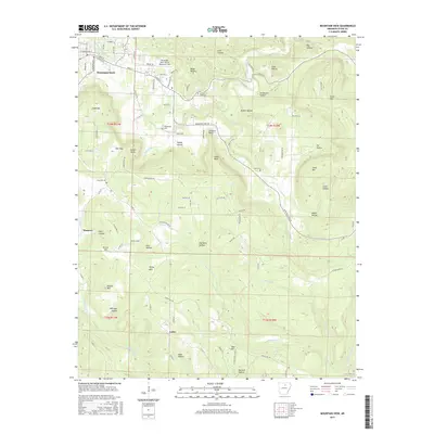
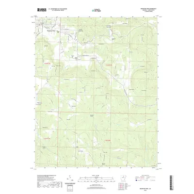
Editions of this 1969 Mountain View Map
This is the sole edition of this map. No revisions or reprints were ever made.
Historical Maps of Mountain View Through Time
9 maps found

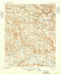
1892 Mountain View
Stone County, AR
1894 Mountain View
Stone County, AR
1969 Mountain View
Stone County, AR
1983 Mountain View
Stone County, AR
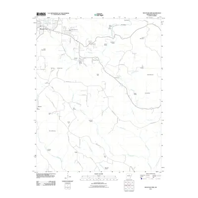
2011 Mountain View
Stone County, AR
2014 Mountain View
Stone County, AR
2017 Mountain View
Stone County, AR
2020 Mountain View
Stone County, AR
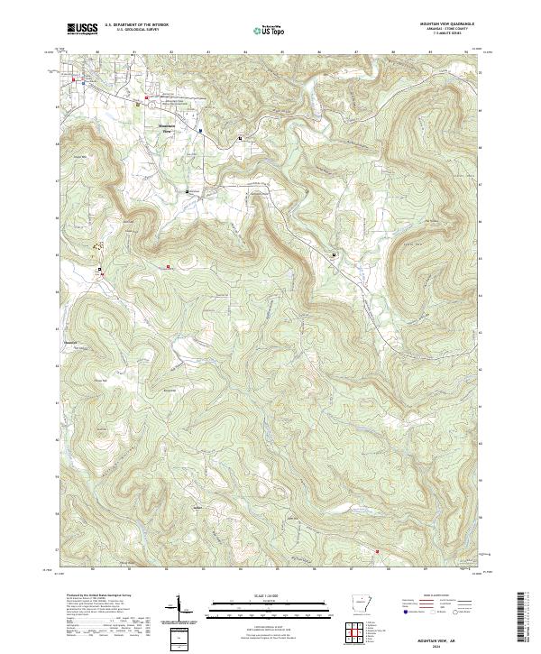
2024 Mountain View
Stone County, AR