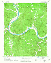
1964 Map of Sylamore
USGS Topo · Published 1965About this map
The White River carves a dramatic path through Stone County in the mid-1960s, defining the landscape between Mount Olive and Mountain View. This river corridor serves as the primary artery for both transport and settlement, with the Missouri Pacific railroad tracking its banks and a Ferry providing a vital crossing near Sylamore. The rugged Ozark topography is marked by named summits like Brandenburg Mountain and Scrappy Mountain, while the deep-cut hollows harbor numerous family-named landmarks and pioneer burial grounds. Genealogists will find a wealth of specific sites, including the Livingston Creek Cem, Jeffery Cem, and Ruddells Cem. The survey details the transition from the river bottoms to the higher reaches of the Ozark National Forest, revealing a dispersed rural community connected by jeep trails and winding mountain roads near the Izard and Stone County line.
Find a feature on this map
104 named features on this map. Tap any name to fly to it.
Don’t see what you’re looking for? This feature index may not catch every label — zoom into the map to look around manually.
Map Details
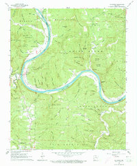
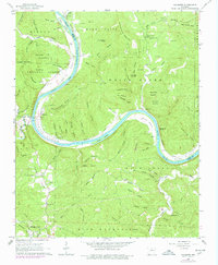
Editions of this 1964 Sylamore Map
Other maps of this area

1890 · Batesville
USGS Topo · 1:125,000

1890 · Mountain Home
USGS Topo · 1:125,000

1891 · Mountain Home
USGS Topo · 1:125,000

1891 · Batesville
USGS Topo · 1:125,000

1892 · Mountain View
USGS Topo · 1:125,000

1894 · Mountain View
USGS Topo · 1:125,000

1894 · Mountain Home
USGS Topo · 1:125,000

1945 · Harrison
USGS Topo · 1:250,000

1949 · Harrison
USGS Topo · 1:250,000

1951 · Melbourne
USGS Topo · 1:62,500