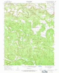
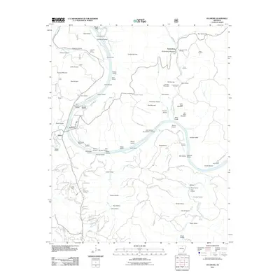
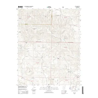
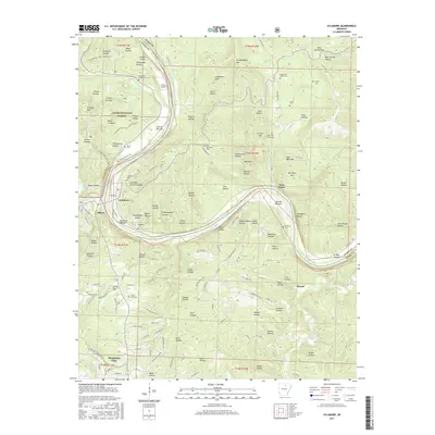
1964 Map of Sylamore
USGS Topo · Published 1978About this map
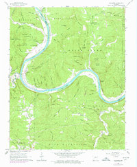
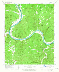
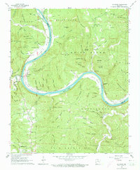
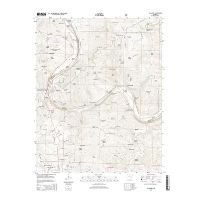
The White River carves a deep path through the Ozark landscape on this mid-century survey, dividing Stone and Izard counties as it flows past Harris Bottom and Sylamore Bottom. This stretch of river was defined by the Missouri Pacific railroad, which follows the southern bank through several sharp bends, including the wide turn at Round Bottom. The terrain is marked by numerous family-named landmarks like Isaac West Mountain and Ben West Mountain, alongside local burial grounds such as Mount Olive Cem and Ruddells Cem.
Find a feature on this map
101 named features on this map. Tap any name to fly to it.
Don’t see what you’re looking for? This feature index may not catch every label — zoom into the map to look around manually.
Map Details
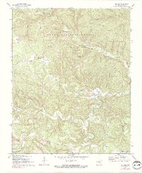
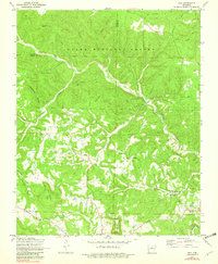
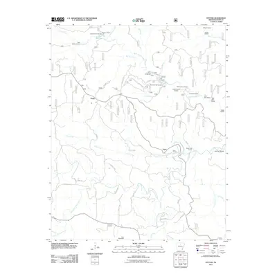
Editions of this 1964 Sylamore Map
Historical Maps of Mountain View Through Time
30 maps found
1964 Sylamore
Stone County, AR
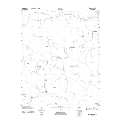
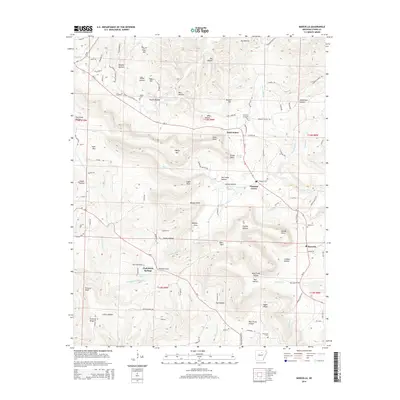
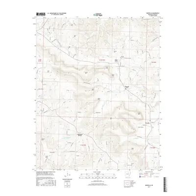
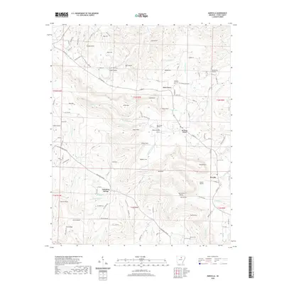
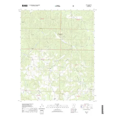
1969 Marcella
Stone County, AR
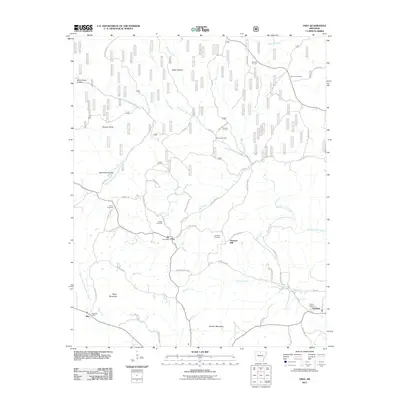
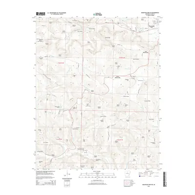
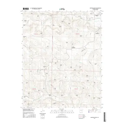
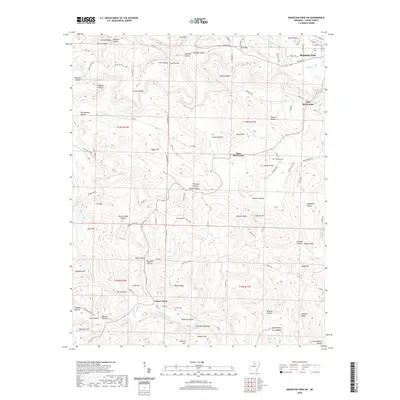
1969 Mountain View SW
Stone County, AR
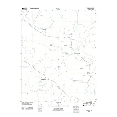
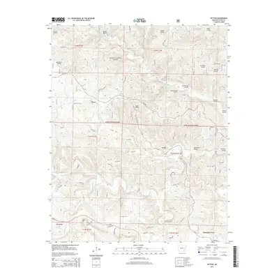
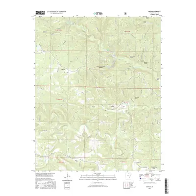
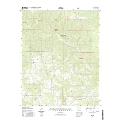
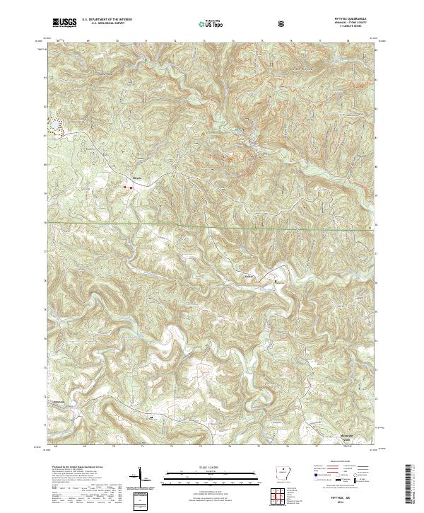
1972 Fiftysix
Stone County, AR
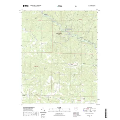
1972 Onia
Stone County, AR
2011 Fiftysix
Stone County, AR
2011 Marcella
Stone County, AR
2011 Mountain View SW
Stone County, AR
2011 Onia
Stone County, AR
2011 Sylamore
Stone County, AR
2014 Fiftysix
Stone County, AR
2014 Marcella
Stone County, AR
2014 Mountain View SW
Stone County, AR
2014 Onia
Stone County, AR
2014 Sylamore
Stone County, AR
2017 Fiftysix
Stone County, AR
2017 Marcella
Stone County, AR
2017 Mountain View SW
Stone County, AR
2017 Onia
Stone County, AR
2017 Sylamore
Stone County, AR
2020 Fiftysix
Stone County, AR
2020 Marcella
Stone County, AR
2020 Mountain View SW
Stone County, AR
2020 Onia
Stone County, AR
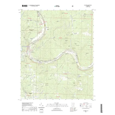
2020 Sylamore
Stone County, AR
2024 Fiftysix
Stone County, AR
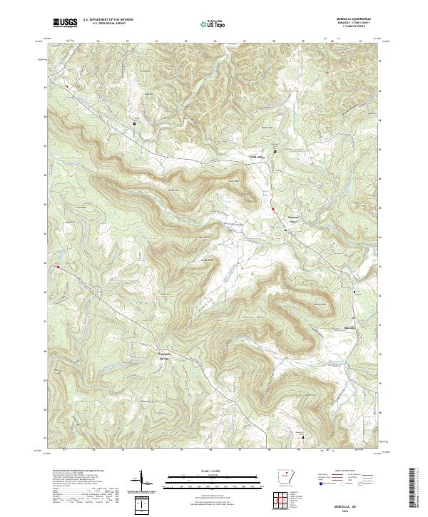
2024 Marcella
Stone County, AR
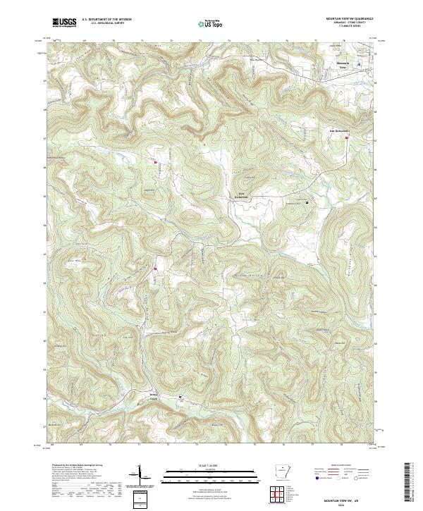
2024 Mountain View SW
Stone County, AR
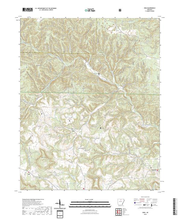
2024 Onia
Stone County, AR
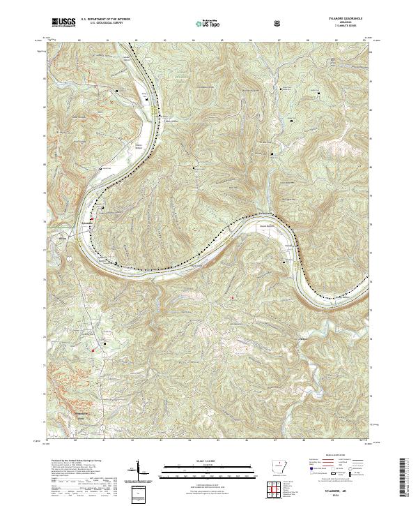
2024 Sylamore
Stone County, AR