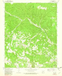
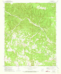
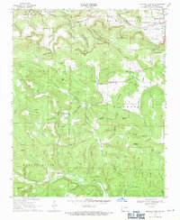
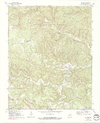
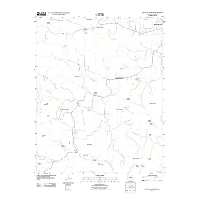
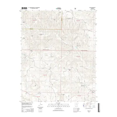
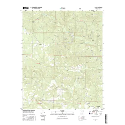
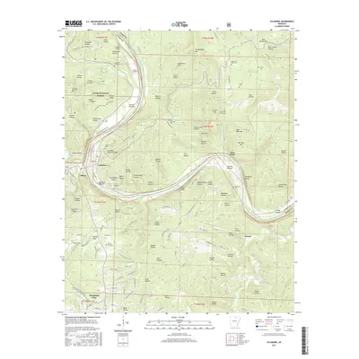
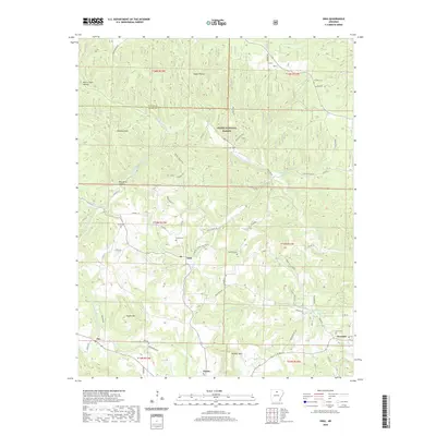
1972 Map of Onia
USGS Topo · Published 1982About this map
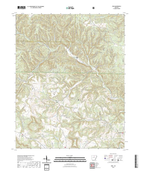
Onia and Timbo anchor this 1970s survey of the north-central Arkansas highlands, where the Baxter Co Stone Co line divides the dense timber of the Ozark National Forest. The landscape is defined by deep drainages like Roasting Ear Creek and Mill Creek, which have shaped the settlement patterns of this isolated region. Genealogists will find a wealth of family history preserved in the numerous upland burial grounds, including Purdue Cem, Smithee Cem, and Farris Cem, often located near rural congregations such as Bethany Ch and Friendship Ch.
Find a feature on this map
42 named features on this map. Tap any name to fly to it.
Don’t see what you’re looking for? This feature index may not catch every label — zoom into the map to look around manually.
Map Details
Editions of this 1972 Onia Map
2 editions found
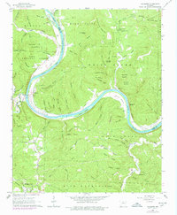
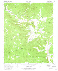
Historical Maps of Newnata Through Time
30 maps found
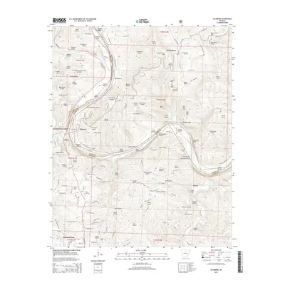
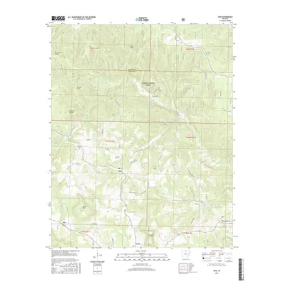
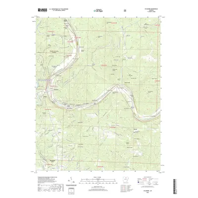
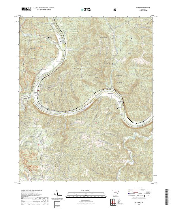
1964 Sylamore
Stone County, AR
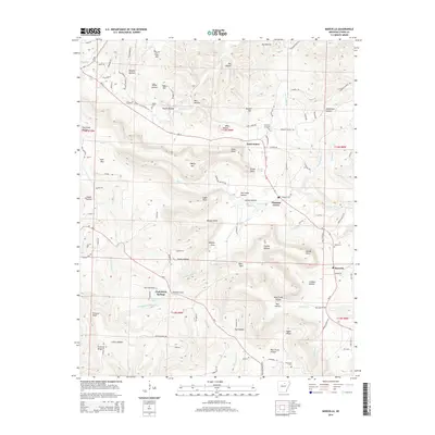
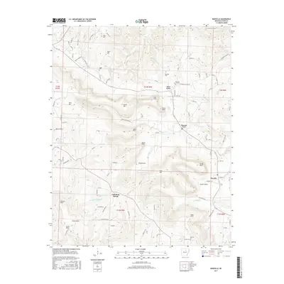
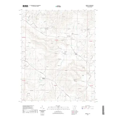
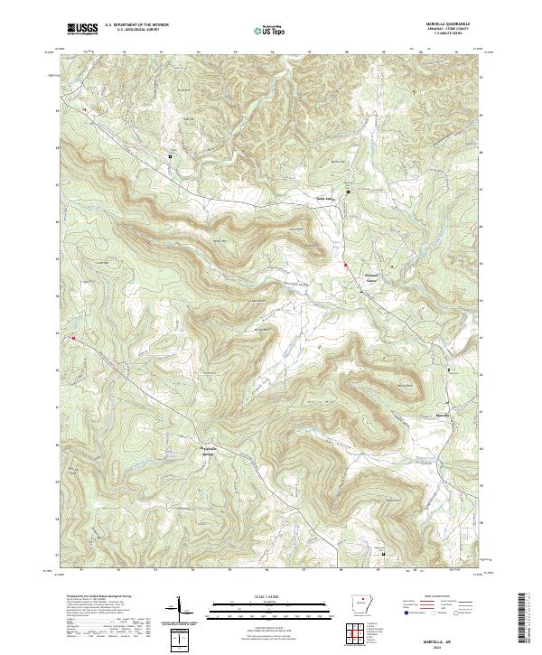
1969 Marcella
Stone County, AR
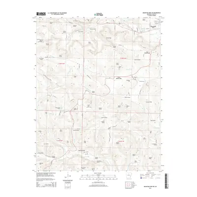
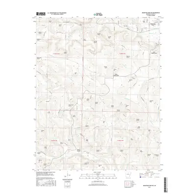
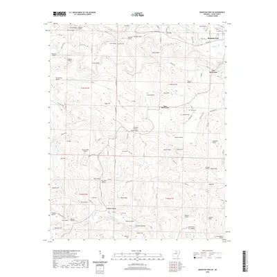
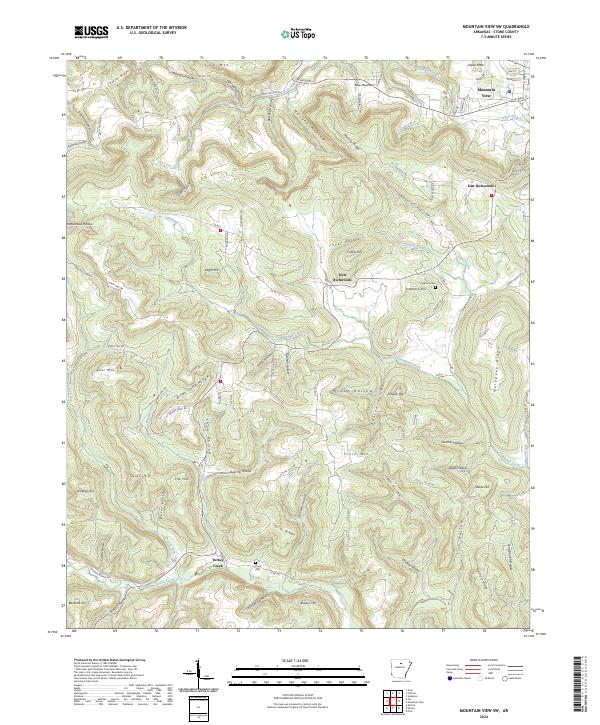
1969 Mountain View SW
Stone County, AR
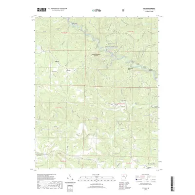
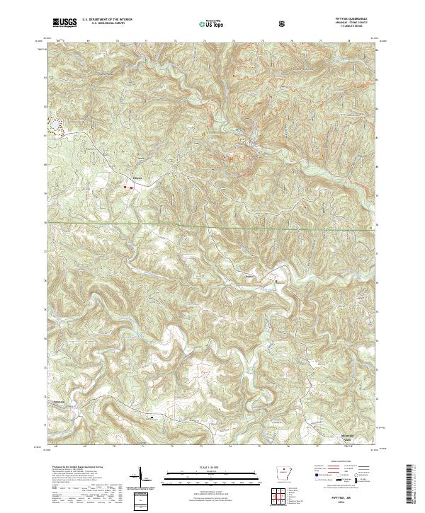
1972 Fiftysix
Stone County, AR
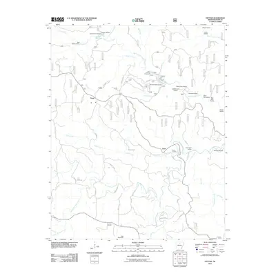
1972 Onia
Stone County, AR
2011 Fiftysix
Stone County, AR
2011 Marcella
Stone County, AR
2011 Mountain View SW
Stone County, AR
2011 Onia
Stone County, AR
2011 Sylamore
Stone County, AR
2014 Fiftysix
Stone County, AR
2014 Marcella
Stone County, AR
2014 Mountain View SW
Stone County, AR
2014 Onia
Stone County, AR
2014 Sylamore
Stone County, AR
2017 Fiftysix
Stone County, AR
2017 Marcella
Stone County, AR
2017 Mountain View SW
Stone County, AR
2017 Onia
Stone County, AR
2017 Sylamore
Stone County, AR
2020 Fiftysix
Stone County, AR
2020 Marcella
Stone County, AR
2020 Mountain View SW
Stone County, AR
2020 Onia
Stone County, AR
2020 Sylamore
Stone County, AR
2024 Fiftysix
Stone County, AR
2024 Marcella
Stone County, AR
2024 Mountain View SW
Stone County, AR
2024 Onia
Stone County, AR
2024 Sylamore
Stone County, AR