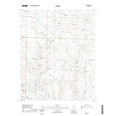
2020 Map of Parma
USGS Topo · Published 2020About this map
Parma and Brewer anchor this highland landscape at the intersection of Stone, Van Buren, and Cleburne Counties. The map reveals a deeply dissected terrain characterized by numerous named hollows and ridges, such as Case Hollow, Finch Hollow, and Graham Ridge. These features point to a long history of local naming conventions, often tied to family lineages like Stevens Hollow and Jones Hollow.
Find a feature on this map
105 named features on this map. Tap any name to fly to it.
Don’t see what you’re looking for? This feature index may not catch every label — zoom into the map to look around manually.
Map Details
Editions of this 2020 Parma Map
This is the sole edition of this map. No revisions or reprints were ever made.
Other maps of this area

1892 · Mountain View
USGS Topo · 1:125,000

1894 · Mountain View
USGS Topo · 1:125,000

1956 · Russellville
USGS Topo · 1:250,000

1964 · Russellville
USGS Topo · 1:250,000

1969 · Mountain View SW
USGS Topo · 1:24,000
1969 · Fox
USGS Topo · 1:24,000
1969 · Mountain View
USGS Topo · 1:24,000
1973 · Fairfield Bay
USGS Topo · 1:24,000
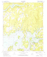
1973 · Brownsville
USGS Topo · 1:24,000
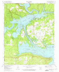
1973 · Greers Ferry
USGS Topo · 1:24,000