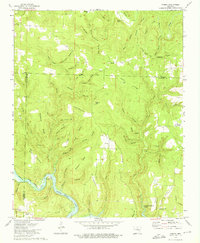
1973 Map of Parma
USGS Topo · Published 1975About this map
Greers Ferry Lake dominates the southern landscape of this 1970s survey, its waters reaching deep into the drainage basins of the Middle Fork Little Red River. The map captures the rugged boundary between Stone Co and Cleburne Co, where a network of hollows like Creemeens Hollow and Sugar Camp Hollow carve into the rising terrain. Small rural settlements and crossroads such as Parma, Nelson, and Brewer serve as the primary hubs for this upland community. Genealogists can locate family landmarks including the Smart Cem and Davis Cem, or the Sunny Slope Ch situated near the lake's edge. The complex topography is defined by prominent elevations like Pond Mountain and Choppy Knob, while the intricate stream system of Turkey Creek and its many tributaries illustrates the natural water flow before reaching the reservoir.
Find a feature on this map
71 named features on this map. Tap any name to fly to it.
Don’t see what you’re looking for? This feature index may not catch every label — zoom into the map to look around manually.
Map Details
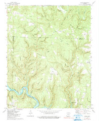
Editions of this 1973 Parma Map
2 editions found
Other maps of this area

1892 · Mountain View
USGS Topo · 1:125,000

1894 · Mountain View
USGS Topo · 1:125,000

1956 · Russellville
USGS Topo · 1:250,000

1964 · Russellville
USGS Topo · 1:250,000

1969 · Mountain View SW
USGS Topo · 1:24,000
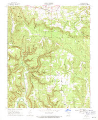
1969 · Fox
USGS Topo · 1:24,000
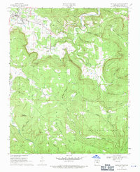
1969 · Mountain View
USGS Topo · 1:24,000
1973 · Fairfield Bay
USGS Topo · 1:24,000
1973 · Brownsville
USGS Topo · 1:24,000
1973 · Greers Ferry
USGS Topo · 1:24,000