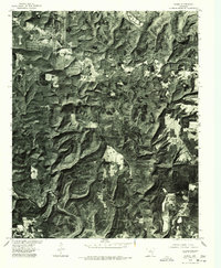
1976 Map of Parma
USGS Topo · Published 1977About this map
The Middle Fork Little Red River meanders through the deeply dissected landscape of north-central Arkansas in this mid-1970s orthophotograph. The settlement of Parma serves as the primary upland landmark in a region defined by narrow ridges and steep-walled valleys. The southwestern portion of the sheet reveals the upper reaches of Greers Ferry Lake, showing the impact of the reservoir on the local hydrology. This orthophotoquad, prepared from aerial photography taken in January 1976, provides an unfiltered view of the timbered hills and clearing patterns that characterized the area during this era. Unlike traditional topographic maps, this imagery captures the exact footprint of small agricultural clearings and forested corridors as they stood before further modern development.
Find a feature on this map
3 named features on this map. Tap any name to fly to it.
Don’t see what you’re looking for? This feature index may not catch every label — zoom into the map to look around manually.
Map Details
Editions of this 1976 Parma Map
This is the sole edition of this map. No revisions or reprints were ever made.
Other maps of this area

1892 · Mountain View
USGS Topo · 1:125,000

1894 · Mountain View
USGS Topo · 1:125,000

1956 · Russellville
USGS Topo · 1:250,000

1964 · Russellville
USGS Topo · 1:250,000

1969 · Mountain View SW
USGS Topo · 1:24,000
1969 · Fox
USGS Topo · 1:24,000
1969 · Mountain View
USGS Topo · 1:24,000
1973 · Fairfield Bay
USGS Topo · 1:24,000
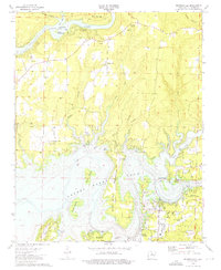
1973 · Brownsville
USGS Topo · 1:24,000
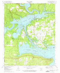
1973 · Greers Ferry
USGS Topo · 1:24,000