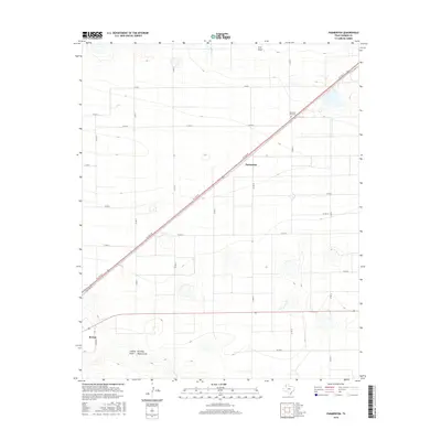
2016 Map of Parmerton
USGS Topo · Published 2016About this map
The high plains of Parmerton and Bovina define this section of Parmer County, where the landscape is etched by several prominent ephemeral drainages including Frio Draw, Catfish Draw, and Running Water Draw. These natural geographic features contrast with the rigid grid of county roads such as Co RD 12 and Co RD 15 that organize the surrounding agricultural land. The small settlement of Parmerton sits centrally along the diagonal corridor of W 11th St, which serves as a primary transit artery through the region. In the northeastern portion of the quadrangle, the Memorial Park Cem provides a specific point of interest for genealogists tracing local history. The map illustrates a classic Llano Estacado settlement pattern, where the development of small towns and rural infrastructure follows the path of least resistance across the flat, open terrain.
Find a feature on this map
25 named features on this map. Tap any name to fly to it.
Don’t see what you’re looking for? This feature index may not catch every label — zoom into the map to look around manually.
Map Details
Editions of this 2016 Parmerton Map
This is the sole edition of this map. No revisions or reprints were ever made.
Other maps of this area

1954 · Clovis
USGS Topo · 1:250,000

1958 · Clovis
USGS Topo · 1:250,000

1963 · Clays Corner
USGS Topo · 1:24,000

1963 · Oklahoma Lane
USGS Topo · 1:24,000

1963 · Lariat NE
USGS Topo · 1:24,000

1965 · Bovina
USGS Topo · 1:24,000

1965 · Parmerton
USGS Topo · 1:24,000

1965 · Hub
USGS Topo · 1:24,000

1965 · Twin Lakes
USGS Topo · 1:24,000

1965 · Rhea
USGS Topo · 1:24,000