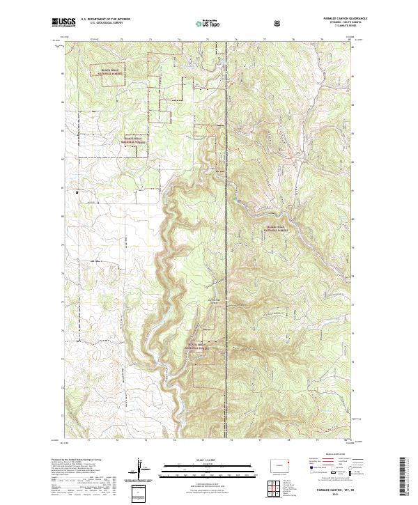
2021 Map of Parmlee Canyon
USGS Topo · Published 2021About this map
Black Hills National Forest dominates this borderland geography where Wyoming's Weston County meets South Dakota's Pennington County. The landscape is defined by a series of deep drainages including Parmlee Canyon, which branches into Dry Parmlee Canyon and Wet Parmlee Canyon, alongside the prominent Bear Canyon and Brown Canyon. Water sources are scattered throughout this high terrain, marked by several named points such as Austin Spring, Freel Spring, and the curiously named Slicker Dick Spring.
Find a feature on this map
59 named features on this map. Tap any name to fly to it.
Don’t see what you’re looking for? This feature index may not catch every label — zoom into the map to look around manually.
Map Details
Editions of this 2021 Parmlee Canyon Map
This is the sole edition of this map. No revisions or reprints were ever made.
Other maps of this area

1894 · Deadwood
USGS Topo · 1:125,000

1896 · Harney Peak
USGS Topo · 1:125,000

1898 · Sundance
USGS Topo · 1:125,000

1899 · Newcastle
USGS Topo · 1:125,000

1901 · Harney Peak
USGS Topo · 1:125,000

1901 · Deadwood
USGS Topo · 1:125,000

1901 · Newcastle
USGS Topo · 1:125,000

1902 · Sundance
USGS Topo · 1:125,000

1916 · Deadwood
USGS Topo · 1:125,000

1953 · Rapid City
USGS Topo · 1:250,000