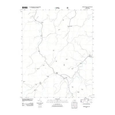
2011 Map of Parmleysville
USGS Topo · Published 2011About this map
Beaver Creek and the Johnson Fork carve through this landscape of the Cumberland Plateau, defining a network of steep hollows and high points. The terrain is characterized by dramatic vertical relief, from the heights of Mount Pisgah and the twin peaks of Little Pilot Knob and Big Pilot Knob to the depths of Stillhouse Hollow and Slagel Hollow. Cultural landmarks like Chriswell Hollow Cemetery Rd and Old Huffaker School Rd provide valuable clues for genealogists tracing family histories in the rural settlements of Parmleysville and Burfield. Numerous geological features, including Criswell Cliff, Ferrell Cliff, and Brokedown Cliff, highlight the complex topography of this Kentucky region, where narrow ridges like Brown Ridge separate the various branches and creeks.
Find a feature on this map
42 named features on this map. Tap any name to fly to it.
Don’t see what you’re looking for? This feature index may not catch every label — zoom into the map to look around manually.
Map Details
Editions of this 2011 Parmleysville Map
This is the sole edition of this map. No revisions or reprints were ever made.
Other maps of this area

1911 · Monticello
USGS Topo · 1:62,500

1914 · Monticello
USGS Topo · 1:62,500

1932 · Burnside
USGS Topo · 1:62,500

1934 · Barthell
USGS Topo · 1:62,500

1934 · Pall Mall
USGS Topo · 1:62,500

1953 · Parnell
USGS Topo · 1:24,000

1953 · Monticello
USGS Topo · 1:24,000

1954 · Parmleysville
USGS Topo · 1:24,000

1954 · Coopersville
USGS Topo · 1:24,000

1954 · Powersburg
USGS Topo · 1:24,000