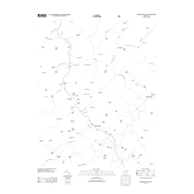
2013 Map of Parmleysville
USGS Topo · Published 2013About this map
Pisgah Lookout Tower stands as a central landmark in this topographical study of Wayne County, overlooking a landscape defined by sharp elevation changes and deep hollows. The settlement of Parmleysville serves as a primary hub in the east, while Mount Pisgah and Burfield anchor the central and northern reaches. The area is heavily marked by family history, evident in the numerous burial grounds such as the Lewis Coffey Family Cem, Butler Foster Cem, and Gregory Corder Cem.
Find a feature on this map
115 named features on this map. Tap any name to fly to it.
Don’t see what you’re looking for? This feature index may not catch every label — zoom into the map to look around manually.
Map Details
Editions of this 2013 Parmleysville Map
This is the sole edition of this map. No revisions or reprints were ever made.
Other maps of this area

1911 · Monticello
USGS Topo · 1:62,500

1914 · Monticello
USGS Topo · 1:62,500

1932 · Burnside
USGS Topo · 1:62,500

1934 · Barthell
USGS Topo · 1:62,500

1934 · Pall Mall
USGS Topo · 1:62,500

1953 · Parnell
USGS Topo · 1:24,000

1953 · Monticello
USGS Topo · 1:24,000

1954 · Parmleysville
USGS Topo · 1:24,000

1954 · Coopersville
USGS Topo · 1:24,000

1954 · Powersburg
USGS Topo · 1:24,000