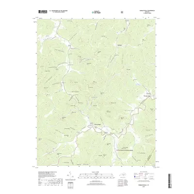
2019 Map of Parmleysville
USGS Topo · Published 2019About this map
Parmleysville and the nearby settlement of Burfield anchor this portion of Wayne County, where the terrain is defined by the winding course of the Little S Fork and its many tributaries like Buffalo Br and Johnson Fork. The landscape is heavily marked by vertical relief, with numerous prominent overlooks such as Criswell Cliff, Rattlesnake Cliff, and Wolf Cliff punctuating the hollows. These features suggest a region of deep ravines and high ridges where travel was traditionally dictated by the drainage patterns of the Little South Fork river system.
Find a feature on this map
111 named features on this map. Tap any name to fly to it.
Don’t see what you’re looking for? This feature index may not catch every label — zoom into the map to look around manually.
Map Details
Editions of this 2019 Parmleysville Map
This is the sole edition of this map. No revisions or reprints were ever made.
Other maps of this area

1911 · Monticello
USGS Topo · 1:62,500

1914 · Monticello
USGS Topo · 1:62,500

1932 · Burnside
USGS Topo · 1:62,500

1934 · Barthell
USGS Topo · 1:62,500

1934 · Pall Mall
USGS Topo · 1:62,500

1953 · Parnell
USGS Topo · 1:24,000

1953 · Monticello
USGS Topo · 1:24,000

1954 · Parmleysville
USGS Topo · 1:24,000

1954 · Coopersville
USGS Topo · 1:24,000

1954 · Powersburg
USGS Topo · 1:24,000