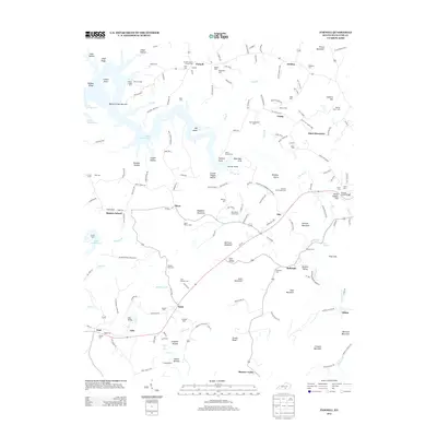
2013 Map of Parnell
USGS Topo · Published 2013About this map
Lake Cumberland defines the northwestern reaches of this Wayne County landscape, where the Beaver Creek Narrows give way to a complex network of ridges and hollows. The area is marked by a high density of family-named landmarks and small burial grounds, such as the Shearer Back Cem and Lucy Shearer Cem, reflecting generations of local lineage in the upland communities of Parnell, Murl, and Bethesda.
Find a feature on this map
172 named features on this map. Tap any name to fly to it.
Don’t see what you’re looking for? This feature index may not catch every label — zoom into the map to look around manually.
Map Details
Editions of this 2013 Parnell Map
This is the sole edition of this map. No revisions or reprints were ever made.
Other maps of this area

1911 · Monticello
USGS Topo · 1:62,500

1914 · Monticello
USGS Topo · 1:62,500

1929 · Byrdstown
USGS Topo · 1:62,500

1934 · Pall Mall
USGS Topo · 1:62,500

1953 · Parnell
USGS Topo · 1:24,000

1953 · Monticello
USGS Topo · 1:24,000

1953 · Mill Springs
USGS Topo · 1:24,000

1953 · Jamestown
USGS Topo · 1:24,000

1954 · Jabez
USGS Topo · 1:24,000

1954 · Parmleysville
USGS Topo · 1:24,000